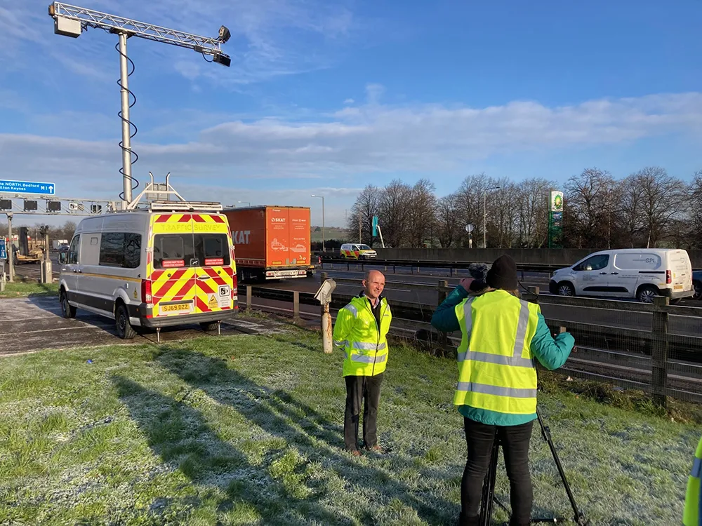
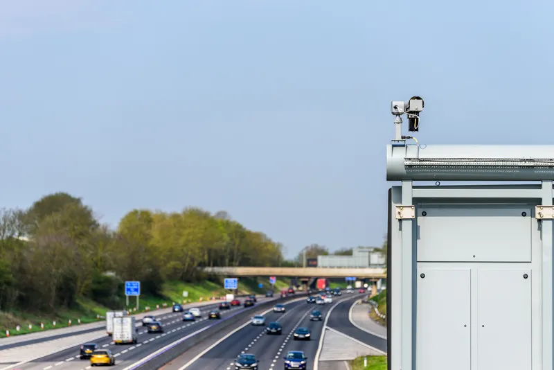
The UK Highways Agency has reached agreement with TomTom to feed up-to-date traffic information from England’s motorways and major A roads into its sat nav services for road users. The agency, which manages the 7,000km strategic road network, collects data on traffic flows from road sensors, backed up by CCTV and other sources. This data, which is already provided to drivers through the Agency’s own channels, will be fed to TomTom for its High Definition Traffic Services.
April 17, 2012
Read time: 2 mins
The 1841 UK Highways Agency has reached agreement with 1692 TomTom to feed up-to-date traffic information from England’s motorways and major A roads into its sat nav services for road users. The agency, which manages the 7,000km strategic road network, collects data on traffic flows from road sensors, backed up by CCTV and other sources. This data, which is already provided to drivers through the Agency’s own channels, will be fed to TomTom for its High Definition Traffic Services.
“This agreement between the Highways Agency and TomTom is a good example of public and private sectors working together to assist road users and exploit today’s technology,” said UK roads minister, Mike Penning. “We work with third party organisations to get our information to as wide an audience as possible. We have also shared our information with1691 Google Maps and the 4967 BBC who provide our traffic camera images so road users can check on the internet before they leave. We look forward to working with other partners in the future.”
The Highways Agency is an established UK traffic information provider, with its own live traffic updates fed through on platforms such as its own and third party websites, as well as feeding data to mobiles, iPhone, digital information screens and2171 Twitter.
“This agreement between the Highways Agency and TomTom is a good example of public and private sectors working together to assist road users and exploit today’s technology,” said UK roads minister, Mike Penning. “We work with third party organisations to get our information to as wide an audience as possible. We have also shared our information with
The Highways Agency is an established UK traffic information provider, with its own live traffic updates fed through on platforms such as its own and third party websites, as well as feeding data to mobiles, iPhone, digital information screens and


