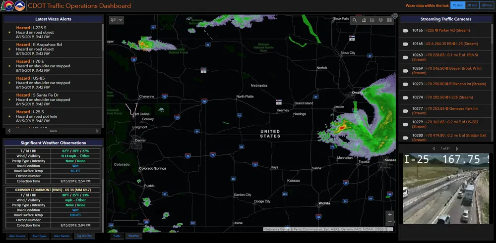
In the US, NaviGAtor 511, Georgia’s traveller information system, has partnered with Waze to provide enhanced traffic information. Waze, a crowd-sourced social GPS and real-time traffic application for smartphones and Android phones, will provide enhanced traffic data to the current 511 system, and create a special 511 user group, specifically for Georgia travelers, within the existing Waze mobile app. The arrangement was provided for under an existing marketing contract with Iteris, the firm that has opera
November 20, 2012
Read time: 2 mins
In the US, 6896 NaviGAtor 511, Georgia’s traveller information system, has partnered with 6897 Waze to provide enhanced traffic information. Waze, a crowd-sourced social GPS and real-time traffic application for smartphones and Android phones, will provide enhanced traffic data to the current 511 system, and create a special 511 user group, specifically for Georgia travelers, within the existing Waze mobile app.
The arrangement was provided for under an existing marketing contract with Iteris, the firm that has operated and maintained the Georgia NaviGAtor 511 system since 2006.
NaviGAtor 511 is a sponsor-supported, free public service of the Georgia Department of Transportation that enhances transportation mobility, safety, and efficiency by providing travellers with real-time, route-specific travel information and 24/7 access to live operators. The system delivers current information on incidents, road construction, and weather conditions statewide. In the Atlanta metro market area, NaviGAtor 511 not only provides congestion information, but also access to HERO (Highway Emergency Response Operator) motorist assistance.
Waze collects traffic data from its 29 million users, or “Wazers,” worldwide, who augment real-time traffic conditions through citizen-based traffic, hazard, and incident reporting. The data will then be verified by Georgia DOT and populated to NaviGAtor 511’s website and phone system.
The Waze smart phone application is available for free from the app store on iPhone, iPad and iPod touch or online. In addition to real-time, crowd-sourced traffic data, Waze offers a number of hands-free features, such as: voice-guided turn-by-turn navigation; voice-activated user reporting of road hazards, construction, incidents, congestion; user-set voice commands; and automated verbal notification of upcoming incidents or conditions.
“Commuters know that they can help each other reduce the stress and inconvenience of traffic simply by turning on our app,” said Chris Butler, director of business development for Waze. “Moving forward, we’re excited to be working with Georgia DOT and Iteris on the NaviGAtor 511 system to offer these expanded benefits and increased exposure to the Georgia Wazers.”


