Alerts for natural disasters are ones that most of us would rather do without, writes Adam Hill. But the ITS industry still needs help to deal with more common meteorological issues
But this is not what Google has in mind. Its SOS messages are for “hurricane forecast cones, earthquake shake-maps and flood forecasts”. That is one hell of a night out.
The alerts allow users to “quickly access authoritative, real-time information during times of crisis”, offering “a summary of what’s happening, relevant news stories, emergency phone numbers and websites, Twitter updates from local authorities, and tips to help you find your way to safety”.
Data amalgam
This is an amalgam of the sorts of data – perhaps minus the natural disasters - which is now routinely available to everyone via social media, and has a clear application to transit authorities and transportation companies involved in Mobility as a Service among other things.
Google points out that, in India, “where over 20% of global flood-related fatalities occur, you’ll now be able to see flood forecasts that show you where flooding is likely to occur in addition to the expected severity in different areas”. Again, this might be useful – not least to emergency services.
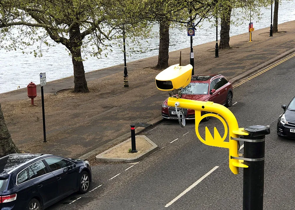
The ability to find all known and suspected road closures in an area – and the wherewithal to report sudden changes to help others nearby at the tap of your smartphone – is a useful variant on the sort of information which was brought together to great effect by Texas DoT and others during the Houston area floods of 2017 (see ‘Like a hurricane’,
Less extreme
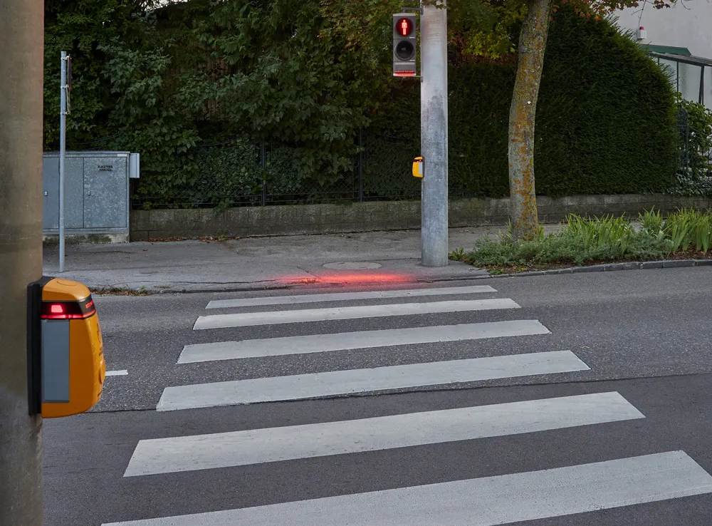
Fortunately, most weather-related surveillance products are at, shall we say, the less extreme end of the spectrum although they have a similar focus on saving lives in inhospitable environments. Snow depth sensors such as Lufft’s SHM30, for instance, may well be a boon on the ski slopes of the Alps, but they have a serious application when it comes to road surveillance too. Based on an opto-electronic distance sensor emitting visible eye-safe laser light, Lufft says it can determine depths up to 10m, regardless of temperature changes or precipitation, and can distinguish between snow and grass.
Meanwhile, weather intelligence firm Baron has released a new forecasting model which is available in its Baron Threat Net, Baron API and broadcast products, offering predictive weather parameters 66 hours into the future, at 3km resolution in hourly intervals. It can be focused on rain and rain-related hazards, such as freezing rain accumulation to help municipalities institute phased road closures or timely gritting. Similarly, a wind speed product “can help emergency managers focus resources to areas in which trees or power lines are more likely to be downed by wind”.
Of similar potential interest to local authorities, Vaisala says its RoadAI and
These new mobile solutions use sensors to report the current state of road networks, helping to optimise maintenance. “RoadAI and MD30 strongly complement one another,” says Markus Melin, head of digital solutions for transportation at Vaisala. “In the summer, the RoadAI platform captures road video and images, reporting issues like pavement cracks and potholes through computer vision algorithms reliably.”
Decision makers
This means decision-makers should get the data which enables them to prioritise limited resources and carry out repairs more efficiently. It can also be used for traffic sign management and Vaisala claims its platform is up to four times faster and half the price of traditional pavement condition analysis.
In winter, the company says that using the products together helps crews monitor the state of the road surface, including changing temperatures and the grip that vehicles are getting. Tested with more than 20 pilot customers last winter, MD30 works with any vehicle, Vaisala insists.