Putting pollution on the map

November 30, 2020 Read time: 1 min
The Open-seneca sensor is designed to be easily portable

Open-seneca is a personal air quality monitor for ‘citizen scientists’ - and Stockholm and Lisbon are rolling them out…

Related Content

  • Connected Vehicle Pilot Program enters phase two
    September 2, 2016
    The US Department of Transportation (USDOT) awarded three cooperative agreements collectively worth more than US$45 million to initiate the design/build/test phase of the Connected Vehicle Pilot Deployment Program. Selected in 2015, the Connected Vehicle Pilot sites include Wyoming, New York City and Tampa.
  • PTV and Bosch set out to improve air quality 
    March 24, 2021
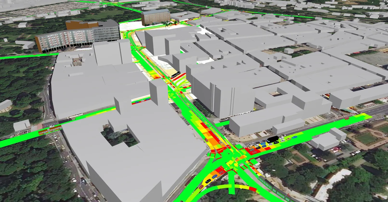
    Precise emissions data from Bosch to be available in traffic simulation software PTV Vissim 
  • 3D Laser Mapping launches aerial mapping system
    November 28, 2017

    Geospatial technology company 3D Laser Mapping has introduced, Robin + Wings airborne LiDAR, an extension of the Robin mobile mapping unit. It can be used with both single pole and nose helicopter mounts and can be deployed in a range of sectors including transportation infrastructure, environmental monitoring and mapping.

    According to the company, Robin +Wings works for ground and airborne applications, with the +Wings add-on extending this flexibility to rotary and fixed wing aircrafts and gyrocopters.

  • UAP vertiport plans receive funding 
    January 21, 2022
    Air-One eVTOL hub will open to the public in UK in April with money from Supernal