SNAPS 2.4 released

The newly released Sensys Networks Archive and Proxy Server (SNAPS) version 2.4 provides improved user interface and enhanced reporting and automation. It employs Google Maps to provide traffic managers with real-time traffic conditions via colour-coded congestion segments. An enhanced user interface enables advanced remote network management and real-time system performance validation, while user-defined alerts improve responsiveness to changing traffic conditions and hardware/software events. Further stre
January 31, 2012 Read time: 1 min
The newly released 119 Sensys Networks Archive and Proxy Server (SNAPS) version 2.4 provides improved user interface and enhanced reporting and automation. It employs 1691 Google Maps to provide traffic managers with real-time traffic conditions via colour-coded congestion segments. An enhanced user interface enables advanced remote network management and real-time system performance validation, while user-defined alerts improve responsiveness to changing traffic conditions and hardware/software events. Further streamlining traffic management operations, SNAPS 2.4 automation upgrades include statistical reporting at customisable intervals on count, speed, percentage of lane occupancy, user-defined reporting templates (exportable to Excel, HTML or graphic display file formats), and the ability to output data to a variety of third-party applications.

For more information on companies in this article

Related Content

  • Road traffic video analytics
    July 18, 2012
    RealTraffic Technologies has launched RTTNet, a new video analytics software that allows any surveillance video camera to function as an accurate and reliable traffic sensor
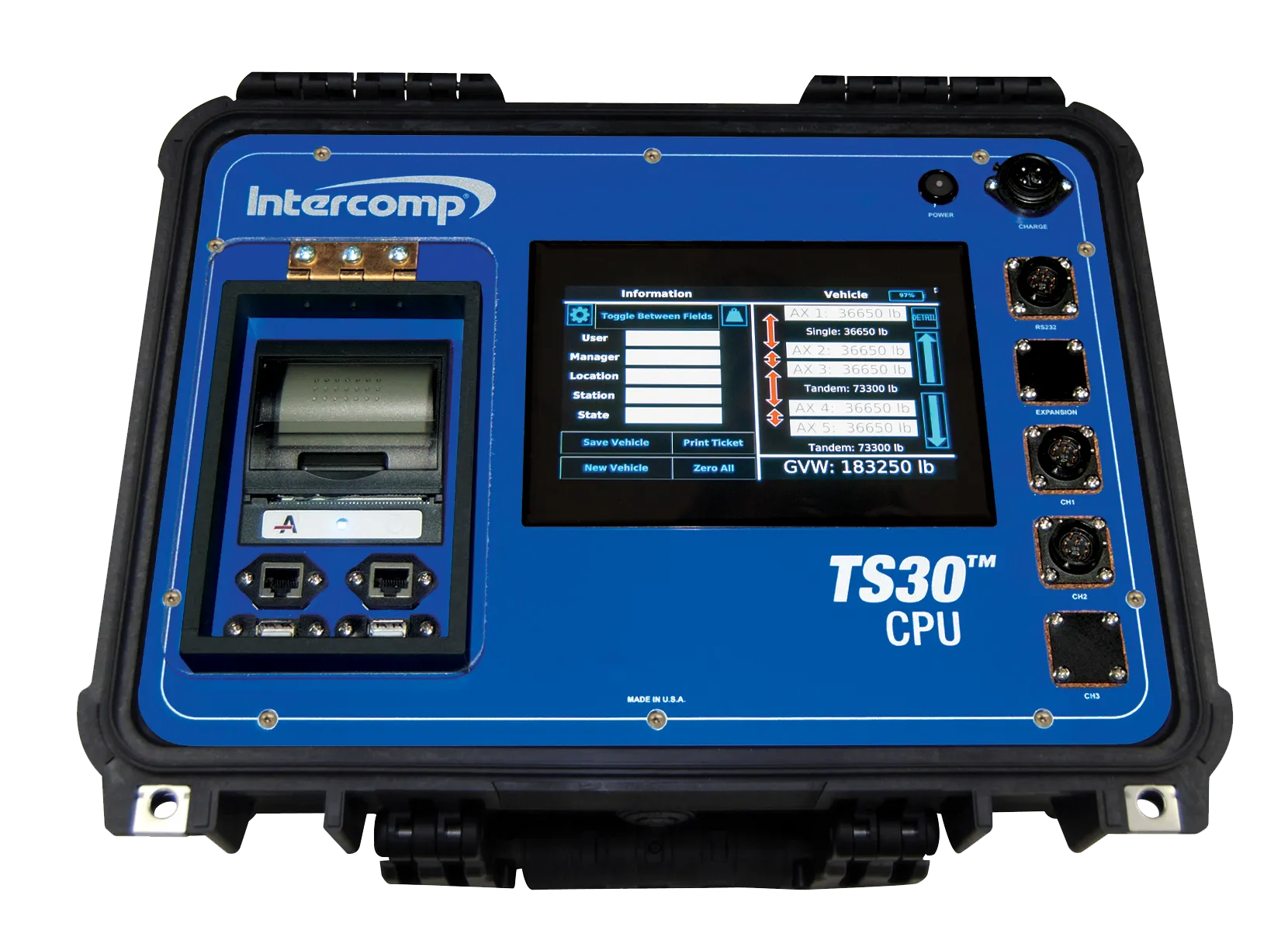
  • Intercomp TS30 CPU earns NTEP certification
    May 18, 2021
    CPU offers on-board storage capacity for over two million separate weight records
  • For software, sensors, and services, you can rely on Iteris
    August 26, 2022
    Santa Ana, CA-based Iteris will provide in-booth demonstrations illustrating how its comprehensive suite of software, sensors and consulting solutions meets agency staff and budgets where they are to scale revolutionary technologies for improved mobility, safety, equity and emissions in communities across the country. 
  • Advanced ITS truck screening aids border control
    March 14, 2012
    State-of-the-art ITS technologies are being deployed for tracking of commercial vehicles at the US-Mexico border in Arizona, reports Pete Goldin. The border between the US and Mexico may be the epitome of America's wild west, but this remote desert frontier is being tamed by the Arizona Department of Transportation (ADOT) with a state-of-the-art ITS system. A comprehensive port-of-entry (POE) screening system is being deployed at the Mariposa Port of Entry – one of the busiest land ports in the nation – at