SNAPS 2.4 released

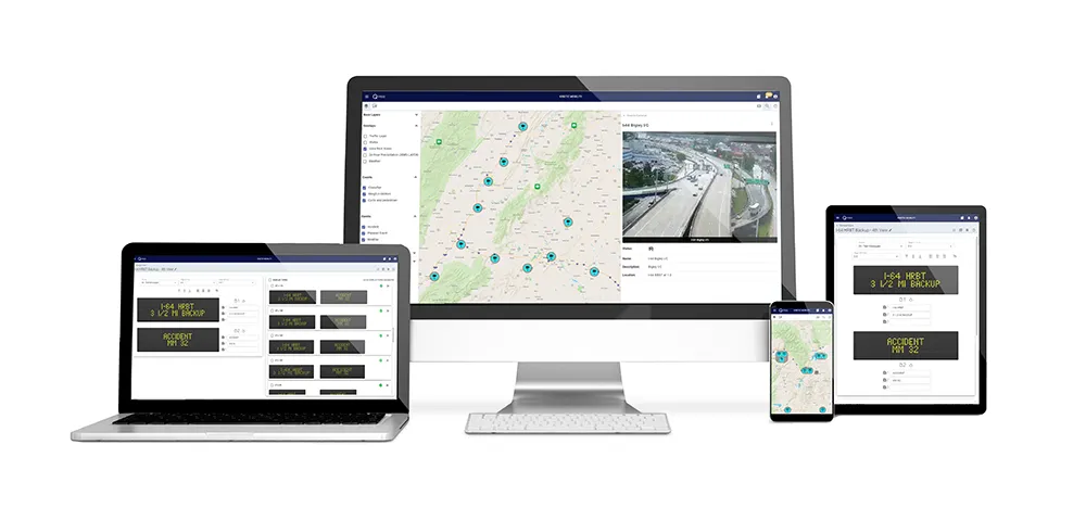
The newly released Sensys Networks Archive and Proxy Server (SNAPS) version 2.4 provides improved user interface and enhanced reporting and automation. It employs Google Maps to provide traffic managers with real-time traffic conditions via colour-coded congestion segments. An enhanced user interface enables advanced remote network management and real-time system performance validation, while user-defined alerts improve responsiveness to changing traffic conditions and hardware/software events. Further stre
January 31, 2012 Read time: 1 min
The newly released 119 Sensys Networks Archive and Proxy Server (SNAPS) version 2.4 provides improved user interface and enhanced reporting and automation. It employs 1691 Google Maps to provide traffic managers with real-time traffic conditions via colour-coded congestion segments. An enhanced user interface enables advanced remote network management and real-time system performance validation, while user-defined alerts improve responsiveness to changing traffic conditions and hardware/software events. Further streamlining traffic management operations, SNAPS 2.4 automation upgrades include statistical reporting at customisable intervals on count, speed, percentage of lane occupancy, user-defined reporting templates (exportable to Excel, HTML or graphic display file formats), and the ability to output data to a variety of third-party applications.

For more information on companies in this article

Related Content

  • Econolite and Image Sensing Systems Introduce Autoscope Vision
    August 11, 2016
    Building on more than two decades of above-ground video detection experience, Econolite and Image Sensing Systems have introduced the Autoscope Vision detection solution, which delivers stop bar vehicle and bicycle detection, advance vehicle detection, bicycle differentiation, traffic data collection and HD video surveillance. Vision setup is simple and quick, and can be accomplished over the built-in local wi-fi, which can also support streaming video. Employing newly-developed, full-field-of-view objec
  • Google updates maps to display natural disasters
    August 20, 2019
    Google is improving its SOS alerts by adding visual information about natural disasters and a navigation system on Google Maps. Google says the upgrade will extend the capabilities of the SOS alerts to provide crisis information via relevant news stories and Twitter updates from local authorities to include detailed visualisations about hurricanes, earthquakes and floods. In the days leading up to a hurricane, users will receive a crisis notification card on Google Maps warning them if they are in its p
  • Rekor to unveil AI-driven vision for smarter transport
    July 29, 2025

    Rekor will spotlight its bold vision for the future of intelligent transport at this year’s ITS World Congress, built on AI-driven insights, scalable solutions, and hardware-light deployment models.

    Leading the announcements is Rekor’s landmark statewide contract with the Texas Department of Transportation — a major validation of the Rekor Command platform’s ability to unify, analyse, and act on transport data at scale.

  • Q-Free to unveil new features on transformative ATMS platform
    September 5, 2022
    Visitors to ITS World Congress will be among the first to experience several enhancements to Kinetic Mobility – Q-Free’s transformative platform for managing advanced traffic management systems and devices.