QRoutes launches transport planning software for schools and special needs

QRoutes has launched the latest version of its Transport Planning tool which is designed to simplify and improve the planning of school and special needs transport. It creates visual map-based results and enables planners to explore what-if scenarios to find new improved routes. The QRoutes Planner (QRP) can configure the system to take into account a range of variables affecting each route plan. These include board and alight times for different passenger types, and road type speed settings, which can be
January 29, 2018 Read time: 1 min

8661 QRoutes has launched the latest version of its Transport Planning tool which is designed to simplify and improve the planning of school and special needs transport. It creates visual map-based results and enables planners to explore what-if scenarios to find new improved routes.

The QRoutes Planner (QRP) can configure the system to take into account a range of variables affecting each route plan. These include board and alight times for different passenger types, and road type speed settings, which can be calibrated from actual journey times.

QRP configures the tool according to vehicle type, cost, time and distance travelled, CO2 emissions and other variables. New features enable users to prioritise which vehicles are included in the routing.

For more information on companies in this article

Related Content

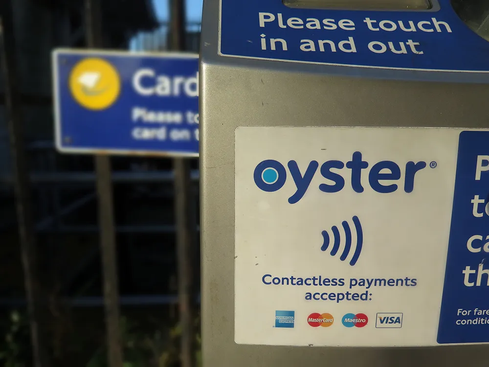
  • The world was your Oyster
    November 5, 2021
    Embracing digital payments and transparent journey planning is key to changing traveller behaviour and accelerating integrated public transport, says Martin Howell of Worldline
  • NNG launches PND for the Indian market
    September 10, 2013
    Global navigation and mapping specialist NNG continues its development automotive and personal navigation devices (PNDs) with the launch of a new PND especially designed for Indian roads. Launched in partnership with Ayana Navigation Solutions (ANS), the five-inch ANS Navigator A-501 runs on the NNG iGO primo software. The device is pre-loaded with the latest India maps and a total of over seven million points of interest (POIs). To guarantee continued reliable guidance, the unit comes with a one-year map
  • TfL launches app to aid social distancing
    August 25, 2020
    App provides accessibility information for disabled users, TfL says. 
  • Transport problems need ''strong action from policymakers”
    June 7, 2012
    Taking advantage of the attendance of the heads of ITS Asia-Pacific, ITS America, Ertico – ITS Europe, and ITS Malaysia as the host nation of the recent 12th ITS Asia-Pacific Forum in Kuala Lumpur in April, ITS International initiated a round table discussion on the big ITS issues confronting the individual regions. For such a diverse collection of advanced and emerging nations spanning the globe, in terms of the advancement of ITS, a common single issue emerges above all others