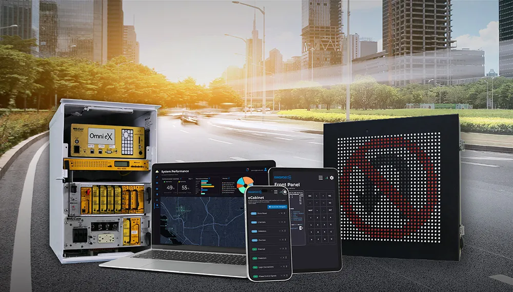
Global Traffic Technologies (GTT) has developed its new Opticom Central Management Software to help users achieve greater control, efficiency and security with their Opticom infrared systems for emergency vehicle preemption or transit signal priority.

From a desktop computer, this server-based software platform links Opticom-controlled intersections via a community's existing communications infrastructure. Users can easily manage Opticom system security settings, create activity reports, respond to performance issues and complete proactive maintenance reviews, all without field visits to individual traffic cabinets at intersections.