Inrix launches Inrix Safety Alerts to help reduce collisions

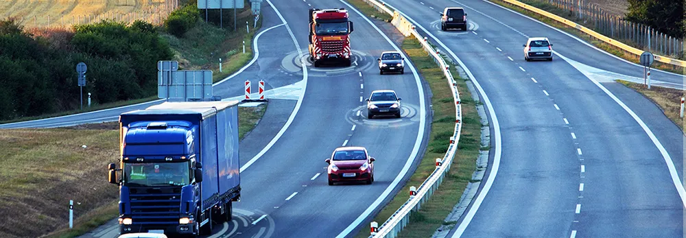
Transportation analytics supplier Inrix has launched Inrix Safety Alerts, a new product suite incorporating Inrix Dangerous Slowdowns, Inrix Incidents and Inrix Road Weather that uses real-time data from vehicles and range of other sources to inform drivers and a transportation agencies and help reduce incidents.
December 11, 2017 Read time: 1 min
Transportation analytics supplier 163 Inrix has launched Inrix Safety Alerts, a new product suite incorporating Inrix Dangerous Slowdowns, Inrix Incidents and Inrix Road Weather that uses real-time data from vehicles and range of other sources to inform drivers and a transportation agencies and help reduce incidents.


Inrix Dangerous Slowdowns is a service in Inrix XD Traffic that uses real-time data from vehicles to help prevent back-of-queue, rear-end collisions. Inrix Incidents uses more than 400 data sources to keep drivers and transportation planners informed about congestion, accidents and construction on the road.

Inrix Road Weather uses real-time and predictive atmospheric data to give drivers and transportation officials advance warning of dangerous weather-related road conditions.

For more information on companies in this article

Related Content

  • How on-board video systems can increase vehicle & road safety
    January 7, 2022
    Hikvision examines technology which can avert danger in cars, school buses, taxis and trucks
  • IBM and City of Lyon collaborate to create transport management centre of the future
    November 15, 2012
    IBM researchers are piloting a system with the City of Lyon, France which will be used to help traffic operators in its transportation management centre to evaluate an incident and make more informed assessments about which actions would restore traffic flow. Using real-time traffic data, the new analytics and optimisation technology can help officials predict outcomes and analyse ways to resolve problems. The researchers say that, although traffic management centres have sophisticated video walls and colou
  • PTV sets its sights on Smart City solutions
    February 9, 2017
    Making a city smarter not only relies on understand technological opportunities but also human decision-making, as Miller Crockart explains. Cities are about people – a fact that can easily be forgotten when experts talk about roads, healthcare and education as though they are abstract and unconnected monoliths rather than things people use. Understanding how and why people use services is vital for making decisions on how they can be optimised for maximum efficiency across inter-connected networks that for
  • Interactive digital map shows road collision history across London
    September 22, 2015
    London’s first interactive digital collision map has been launched by the Mayor and Transport for London (TFL) as part of a continued drive to improve road safety awareness to reduce the number of casualties in the capital. The London Collision Map uses extensive data, collected by the police and held by TfL, to shine a light on road collisions in local areas. This creates a useful new way to inform road users about junctions with high collision histories and aiding improvement work in line with TfL’s co