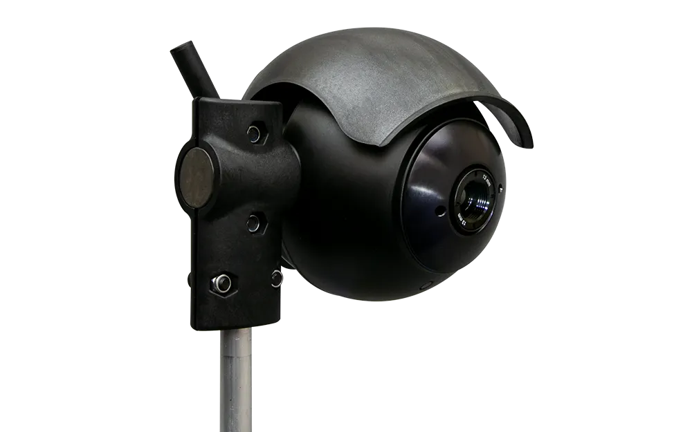
GTT Opticom Analytics aids intersection analysis

Opticom Analytics enables users of Global Traffic Technologies’ (GTT’s) GPS-enabled emergency vehicle pre-emption hardware to assess intersection performance, reveal problem areas and make corrections to provide a faster, safer emergency response. The web-based analytics platform collects data logs from the Opticom-equipped vehicles via a Wi-Fi or cellular connection and allows departments to view critical information about their department’s vehicles as they pass through an intersection.
September 7, 2017 Read time: 1 min

Opticom Analytics enables users of 542 Global Traffic Technologies’ (GTT’s) GPS-enabled emergency vehicle pre-emption hardware to assess intersection performance, reveal problem areas and make corrections to provide a faster, safer emergency response.

The web-based analytics platform collects data logs from the Opticom-equipped vehicles via a Wi-Fi or cellular connection and allows departments to view critical information about their department’s vehicles as they pass through an intersection. This information can be used to make more informed decisions about emergency response.

Users can sort and view performance metrics based on date, speed, travel time, vehicle type, preemption usage and more.

For more information on companies in this article

Related Content

  • Gridsmart deploys new traffic-time collection system in home city
    April 19, 2017
    At no cost to the city or its tax-payers, local transportation solutions company Gridsmart has deployed six of its new Streetsmart wi-fi traffic-time collection system in its home city of Knoxville. The new six-intersection traffic management area will provide real-time, comprehensive travel times, congestion mapping and traffic count data, allowing the city to study and better manage travel trends at major intersections, potentially reducing congestion. Streetsmart uses wi-fi signals generated in vehicles
  • Less travel aggravation to blunt Aggieland fans’ motivation
    June 17, 2016
    Returning travel times to normal within two hours of the end of a major football game was the challenge facing College Station, Adam Lyons explains how this was achieved. College Station, TX, also known as ‘Aggieland’, is located right in the middle of the Dallas/Fort Worth, San Antonio and Houston triangle making the city accessible to over 14 million Texans within less than a four-hour drive. One of the biggest draws to this area is Texas A&M University (TAMU) and the Aggie football games in the fall, mea
  • Ground-breaking new Flir cameras with AI will optimise traffic flow
    September 16, 2021
    Flir Systems will showcase two ground-breaking intelligent traffic system cameras, the Flir ThermiCam AI* with thermal imaging and the Flir TrafiCam AI visible camera, both with artificial intelligence (AI) to optimise traffic flow on roadways and at intersections. When combined with the Flir Acyclica cloud platform, cities can apply the AI-camera data to predict traffic, prevent congestion and potential accidents, and create safer roads for drivers, cyclists, and pedestrians, 24 hours a day
  • Econolite & Derq team up in Orange County
    September 2, 2024
    AI-powered safety solution in place at 52 signalised intersections in California