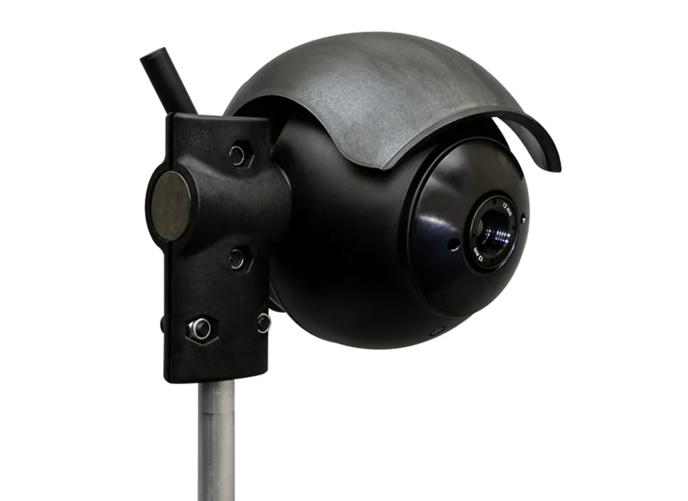
Gridsmart release Streetsmart to display real-time analytics

Gridsmart’s StreetSmart provides traffic travel time and real-time congestion analytics for traffic managers and provides them with the ability to adjust traffic flow strategies for current conditions. It uses Wi-Fi to stream real-time traffic performance data and by collecting travel time, congestion, mapping and origin destination data it creates a timing plan to reduce congestion. The web interface analyses and archives data to identify trends and analyse changes.
February 9, 2018 Read time: 1 min

Gridsmart’s StreetSmart provides traffic travel time and real-time congestion analytics for traffic managers and provides them with the ability to adjust traffic flow strategies for current conditions.

It uses Wi-Fi to stream real-time traffic performance data and by collecting travel time, congestion, mapping and origin destination data it creates a timing plan to reduce congestion.

The web interface analyses and archives data to identify trends and analyse changes.

Related Content

  • New services and equipment helps cities tackle air quality issues
    September 19, 2017
    With poor urban air quality shortening lives and fines being imposed for breaching pollution limits, authorities are seeking ways to clean up their cities. Poor air quality is topping the agenda for city authorities across the globe. In the UK, for example, a report from the Royal Colleges of Physicians and of Paediatrics and Child Health, concluded that poor outdoor air quality shortens the lives of around 40,000 people a year – principally by undermining the health of people with heart and/or lung prob
  • Flir senses future with AI cameras
    January 14, 2021
    AI combined with edge capability helps to optimise traffic flow, according to company
  • Clearview launches Journey Time Monitoring System
    December 14, 2018
    Clearview Intelligence has launched its Journey Time Monitoring System which uses crowdsourced data to generate automatic traffic alerts for temporary and permanent routes. Paul Bates, head of product management for Clearview, says the system – which analyses anonymous GPS-determined locations transmitted by mobile phone and satellite navigation users - removes the need for installing and maintaining roadside technology. Operators can launch the application from a computer and receive data in minutes.
  • Joined-up thinking for future ITS
    May 8, 2015
    David Crawford looks at a US model which, for modest federal funding, is producing substantive results. Outward and upward is the clear message emerging from the US$458,000, 2015 workplan of the US government’s ENTERPRISE (Evaluating New TEchnologies for Roads PRogram Initiatives in Safety and Efficiency) joint funding scheme for ITS research.