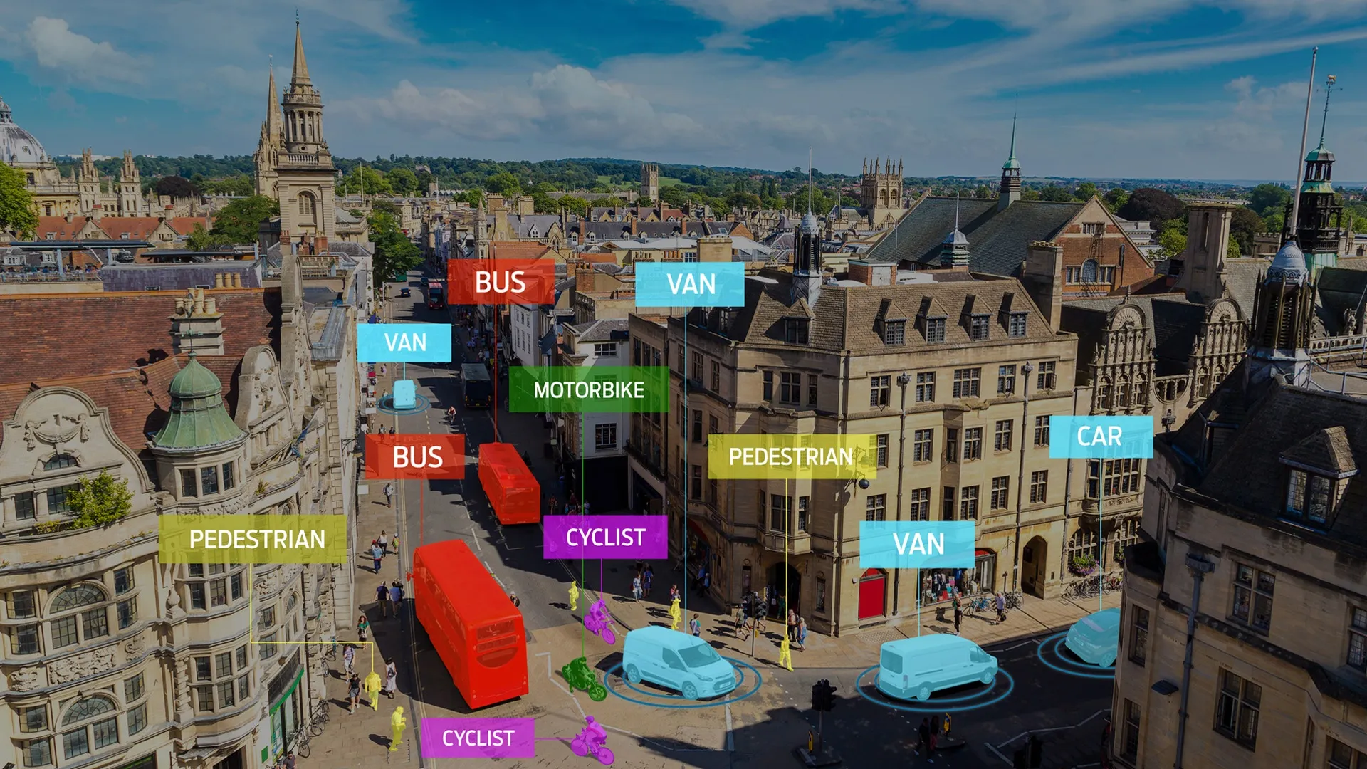
Gridsmart’s StreetSmart provides traffic travel time and real-time congestion analytics for traffic managers and provides them with the ability to adjust traffic flow strategies for current conditions. It uses Wi-Fi to stream real-time traffic performance data and by collecting travel time, congestion, mapping and origin destination data it creates a timing plan to reduce congestion.
The web interface analyses and archives data to identify trends and analyse changes.

Gridsmart’s StreetSmart provides traffic travel time and real-time congestion analytics for traffic managers and provides them with the ability to adjust traffic flow strategies for current conditions.
It uses Wi-Fi to stream real-time traffic performance data and by collecting travel time, congestion, mapping and origin destination data it creates a timing plan to reduce congestion.
The web interface analyses and archives data to identify trends and analyse changes.