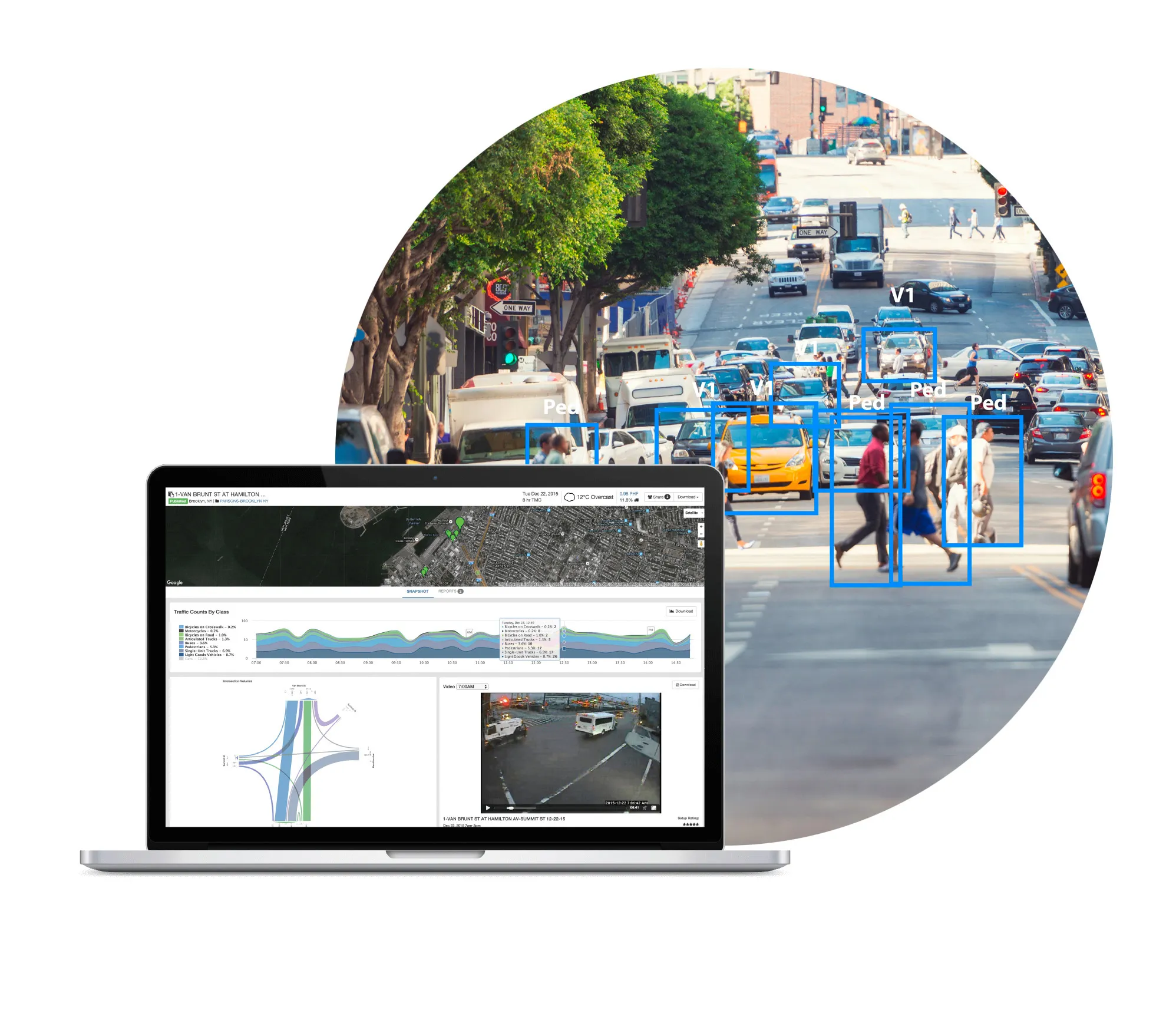
Gridsmart release Streetsmart to display real-time analytics

Gridsmart’s StreetSmart provides traffic travel time and real-time congestion analytics for traffic managers and provides them with the ability to adjust traffic flow strategies for current conditions. It uses Wi-Fi to stream real-time traffic performance data and by collecting travel time, congestion, mapping and origin destination data it creates a timing plan to reduce congestion. The web interface analyses and archives data to identify trends and analyse changes.
February 9, 2018 Read time: 1 min

Gridsmart’s StreetSmart provides traffic travel time and real-time congestion analytics for traffic managers and provides them with the ability to adjust traffic flow strategies for current conditions.

It uses Wi-Fi to stream real-time traffic performance data and by collecting travel time, congestion, mapping and origin destination data it creates a timing plan to reduce congestion.

The web interface analyses and archives data to identify trends and analyse changes.

Related Content

  • Embedded connectivity delivers real time travel information
    February 3, 2012
    Ton Brand describes the GSM Association's Embedded mTelematics programme. As the world's roads become increasingly crowded, consumers and businesses are demanding better real-time information to help them both avoid traffic congestion and make smarter use of public transport. Embedding mobile connectivity directly into vehicles can enable drivers and passengers to see live traffic flows in their localities, as well as the expected arrival time of the next bus, ferry or tram
  • Inrix unveils AI traffic solution
    June 14, 2019
    Inrix has launched a traffic solution which it says uses artificial intelligence (AI) to provide updates to traffic conditions and pinpoint traffic speeds in different lanes. Inrix AI Traffic provides road authorities with information to help promote public safety and future-proof roadways, the company adds. According to Inrix, the solution also provides: • Estimated time of arrivals to ensure drivers arrive at their destination on-time • Instant updates on road conditions such as roadworks, accidents
  • The role of GIS in climate change resiliency
    May 29, 2014
    Climate change will pose global and local challenges and that includes risks to the transportation infrastructure. Climate change adaptation and resiliency has captured the attention of the transportation community for some time now. Because transportation infrastructure is often designed to last for 30, 50, or 100 years or even longer, transportation professionals are concerned not only about the impact on our existing investments, but also how to design more durable transportation systems for the future
  • Empowering Vision Zero decisions on Miovision One platform
    August 29, 2023
    Miovision One offers a 'unified interface for a seamless user experience', firm says