WSP wins Caltrans Excellence in Transportation Award 2017

Engineering Consultancy WSP won a Caltrans Excellence in Transportation Award 2017, following a partnership with the Bay Area Rapid Transit (BART) and Scoop's app to develop a carpool program in the San Francisco Bay area, on behalf of the Metropolitan Transportation Commission (MTC). It provided parking spaces until 10 am for commuters carpooling to select the BART station via the app. The program developed campaigns to build public awareness and increase carpooling behaviour, including short-term
December 12, 2017 Read time: 2 mins

Engineering Consultancy 6666 WSP won a Caltrans Excellence in Transportation Award 2017, following a partnership with the Bay Area Rapid Transit (BART) and Scoop's app to develop a carpool program in the San Francisco Bay area, on behalf of the Metropolitan Transportation Commission (MTC). It provided parking spaces until 10 am for commuters carpooling to select the BART station via the app.

The program developed campaigns to build public awareness and increase carpooling behaviour, including short-term incentives that award users with a chance to win a monetary incentive for scheduling a ride on a randomly selected day, outreach blitzes at targeted events, messaging on billboards, and Pandora ads. It also sent targeted emails, phone calls and in-person outreach at employers, coffee shops, and other retail locations to inform people of their carpool options.

WSP conducts new mobility strategies as well as the implementation of carpool behaviour change initiatives on behalf of the MTC; who manages the 511 program and encourages carpooling and vanpooling to shift travel from single occupant vehicles.

Related Content

  • January 19, 2017
    TfL upgrades transport planning tool
    Transport for London (TfL) has upgraded WebCAT, its online planning tool for showing how well-connected a location is in terms of transport. It includes a range of new data to help the city’s planners design the housing and business developments of the future. As well as previously released information such as the levels of public transport by location and journey time, the latest version of WebCAT now includes heat maps which show users how well-connected an area is, not only by public transport but no
  • July 5, 2013
    GPS-based virtual detection zones improve bus travel times
    San Antonio, Texas’ new Via Primo will be kept on schedule with minimal impact on individual traffic flow with the implementation of a GPS-based bus rapid transit system that allows the bus to automatically request a green light when it is behind schedule and approaching a busy intersection.
  • August 20, 2024
    Congestion pricing: the time to act is now
    New York may have thrown a curveball on congestion pricing, but it is a proven global strategy for traffic management which cities should adopt, argues Wes Guckert of The Traffic Group
  • January 14, 2022
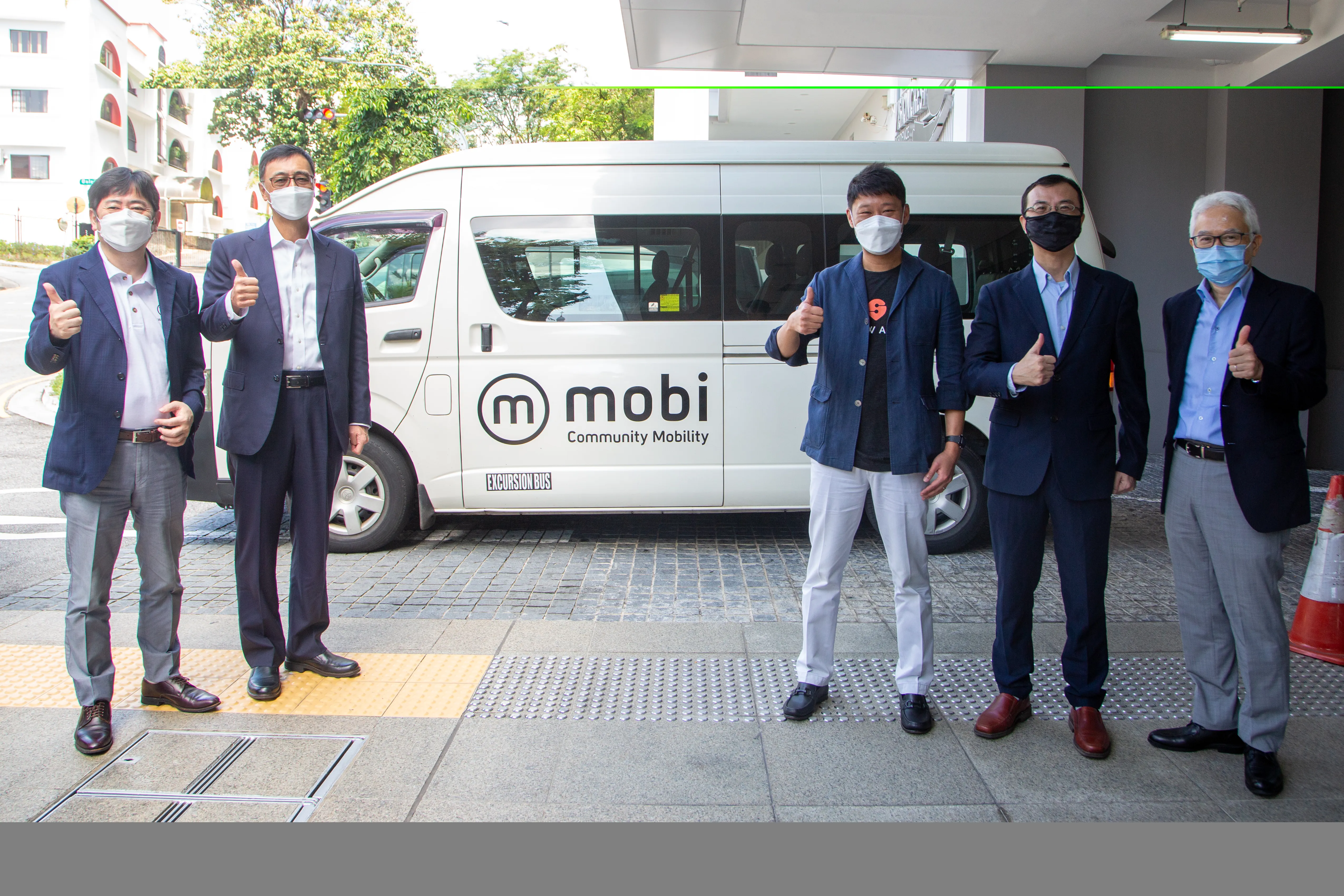
    Willers brings Mobi shuttles to Singapore
    Mobi uses Swat's AI technology, with optimal routing capability