The city of White Plains in New York is deploying a new SCATS-based adaptive traffic signal control system from TransCore. The system will collect real-time information and then adjust signal timing parameters on a cycle-by-cycle basis on one of the city’s major arterials. Previous conventional traffic control techniques, such as time-of-day signal timing and responsive timing plan selection, were not able to accommodate all the variable and unpredictable traffic conditions experienced on the Tarrytown Road
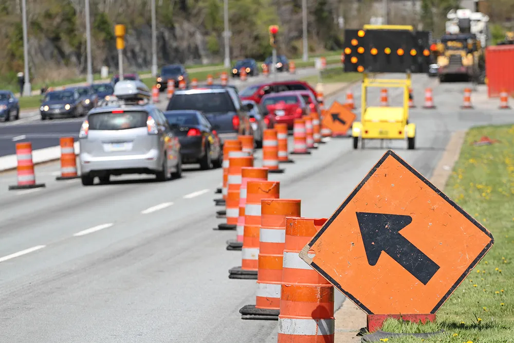
The city of White Plains in New York is deploying a new SCATS-based adaptive traffic signal control system from 139 Transcore. The system will collect real-time information and then adjust signal timing parameters on a cycle-by-cycle basis on one of the city’s major arterials. Previous conventional traffic control techniques, such as time-of-day signal timing and responsive timing plan selection, were not able to accommodate all the variable and unpredictable traffic conditions experienced on the Tarrytown Road, a major arterial that carries around 60,000 vehicles daily and serves as a primary route for commuter access to and from downtown White Plains. Tarrytown Road is also the primary route when traffic is diverted from I-287 and experiences fluctuation in demand throughout the day with significant congestion during morning and afternoon peak traffic hours.