Virginia expands travel information on I-66

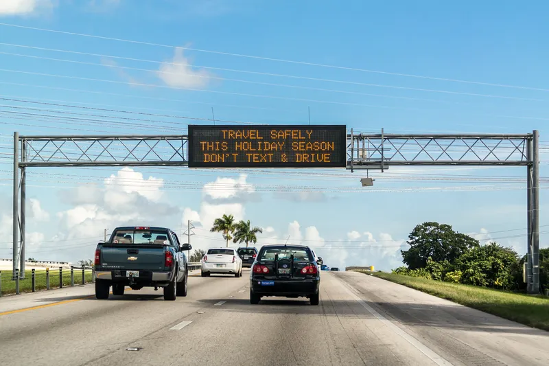
Virginia Department of Transportation (VDOT) is to expand the traffic information system on Interstate 66 (I-66). Motorists will now see travel times displayed on overhead message signs for the 35 miles from Washington to Haymarket. VDOT has been posting the number of miles and minutes to key destinations at three locations between the Capital Beltway and Gainesville since August 2011. Message signs will display the information at seven new locations. In addition, by summer, six more locations will be ad
April 4, 2013 Read time: 2 mins
1747 Virginia Department of Transportation (VDOT) is to expand the traffic information system on Interstate 66 (I-66).  Motorists will now see travel times displayed on overhead message signs for the 35 miles from Washington to Haymarket.  VDOT has been posting the number of miles and minutes to key destinations at three locations between the Capital Beltway and Gainesville since August 2011.  Message signs will display the information at seven new locations. In addition, by summer, six more locations will be added: two on I-66 and four locations on major roads approaching I-66.  Travel times will be displayed weekdays from 5 a.m. to 9 p.m. and weekends from 8 a.m. to 8 p.m.

VDOT is using traffic data from 163 Inrix and other sources to determine the travel times. Traffic controllers at the Public Safety Transportation Operations Center in Fairfax County will ensure the travel times are successfully relayed to the electronic message signs and are accurately refreshed every five minutes.

 “This will give motorists continually updated information on traffic conditions ahead, allowing them to take more control over their commute,” said Governor Bob McDonnell.  “Northern Virginia has the most congested roads in the nation and too many hours and dollars are wasted sitting in traffic. Thankfully, together with the General Assembly we have taken historic action this year to produce a long-term, sustainable transportation funding solution.  We must continue to encourage innovative solutions, like this, in order to build the world class, 21st century transportation network Virginians deserve."

For more information on companies in this article

Related Content

  • Wrong Way Detection System prevents accidents, improves safety
    January 31, 2012
    In 2006, within a span of four months, two incidents of drivers entering the 16km-long Westpark Tollway in Houston, Texas resulted in horrific accidents that caused a number of fatalities. As a result, Harris County Toll Road Authority (HCTRA) began investigating technologies that could help detect vehicles entering the tollway in the wrong direction.
  • Iteris awarded major MAP-21 services contract
    August 29, 2014
    Iteris is to help transportation agencies with the various elements of Moving Ahead for Progress in the 21st Century (MAP-21) requirements under a US$1.2 million task order awarded by the National Highway Institute (NHI). The contract also includes assistance with the implementation of performance measures into their existing planning processes. These programs assist federal, state, and local agencies to comply with MAP-21 performance management provisions. “This new task order further reflects our posit
  • Nema's updated signage standards are key to managing the variables
    June 7, 2024
    National Electrical Manufacturers Association’s revision of standards relating to variable message signs will help to improve interoperability and reflect changes in vehicle technology
  • Transurban opts for Raytheon system
    January 31, 2012
    Raytheon has been selected by Transurban (USA) to deliver an integrated tolling and traffic management system for a 22.5km section of the I-495 Capital Beltway in Northern Virginia.