Virginia expands travel information on I-66

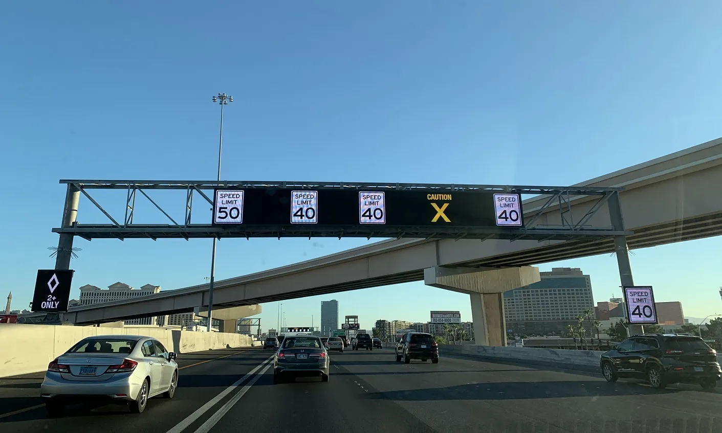
Virginia Department of Transportation (VDOT) is to expand the traffic information system on Interstate 66 (I-66). Motorists will now see travel times displayed on overhead message signs for the 35 miles from Washington to Haymarket. VDOT has been posting the number of miles and minutes to key destinations at three locations between the Capital Beltway and Gainesville since August 2011. Message signs will display the information at seven new locations. In addition, by summer, six more locations will be ad
April 4, 2013 Read time: 2 mins
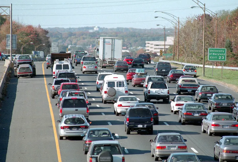
1747 Virginia Department of Transportation (VDOT) is to expand the traffic information system on Interstate 66 (I-66).  Motorists will now see travel times displayed on overhead message signs for the 35 miles from Washington to Haymarket.  VDOT has been posting the number of miles and minutes to key destinations at three locations between the Capital Beltway and Gainesville since August 2011.  Message signs will display the information at seven new locations. In addition, by summer, six more locations will be added: two on I-66 and four locations on major roads approaching I-66.  Travel times will be displayed weekdays from 5 a.m. to 9 p.m. and weekends from 8 a.m. to 8 p.m.

VDOT is using traffic data from 163 Inrix and other sources to determine the travel times. Traffic controllers at the Public Safety Transportation Operations Center in Fairfax County will ensure the travel times are successfully relayed to the electronic message signs and are accurately refreshed every five minutes.

 “This will give motorists continually updated information on traffic conditions ahead, allowing them to take more control over their commute,” said Governor Bob McDonnell.  “Northern Virginia has the most congested roads in the nation and too many hours and dollars are wasted sitting in traffic. Thankfully, together with the General Assembly we have taken historic action this year to produce a long-term, sustainable transportation funding solution.  We must continue to encourage innovative solutions, like this, in order to build the world class, 21st century transportation network Virginians deserve."

For more information on companies in this article

Related Content

  • New opportunities in a data-rich future
    March 19, 2014
    Jason Barnes looks at where the detection and monitoring sector is heading. In the future, there will be no such thing as an un-instrumented road. Just a short time ago, that could have been a quote from a high-level policy document but with the first arrivals of vehicles with 802.11p connectivity – the door-opener to Vehicle-to-X (V2X) applications – it’s a statement which has increasing validity. The technology which uses our roads will also provide information on road conditions but V2X isn’t the only
  • Moscow is world’s most gridlocked city, says Inrix
    February 21, 2019
    Moscow is the most gridlocked city in the world, according to a survey of snarl-ups by Inrix. The company’s annual Global Traffic Scorecard found that road users in the Russian capital lost 210 hours last year because of congestion. Inrix weights the data for population, and found that the next four cities on the congestion roll-call were Istanbul, Turkey; Bogota, Colombia; Mexico City; and São Paulo, Brazil. Brazil had another entry on this unwanted list, with Rio de Janeiro in seventh place. Russ
  • South Nevada expands freeway safety tech 
    February 10, 2021
    $6m USDoT grant means US95 will get wrong-way sensors and sensors for HOV lanes 
  • Three for Q-Free in the US
    May 1, 2025
    Kinetic Mobility will be used in Denver, Washington DC and Dallas-Fort Worth