VDOT has now executed the second of a three-year deal with SLD and has already conducted over 360 studies, realising over $14m (£10m) in savings over pay-per-use projects and traditional methodologies.
Insight is currently assisting consultants in evaluating congestion mitigation tactics on the I-95 corridor and other key corridors and is also helping to update the Charlottesville-Albemarle Regional Travel Demand through using origin-destination flows. In addition, it is also assessing the impact of heavy-duty and medium-duty trucks on congestion through I-66 via commercial truck metrics.
Nick Donohue, deputy secretary of transportation, said: “Working with StreetLight Data has provided VDOT excellent opportunities to deliver on our goals of mitigating travel congestion and improving transportation offerings for the benefit of all Virginians. Using StreetLight InSight, we now have the ability to collect up-to-date mobility data for any project, no matter the size. Different agencies and consulting firms are all working with the same set of data, so everyone is on the same page. This power and flexibility help us maximize our efficiency and gain a better overall understanding of how our State moves.”
Laura Schewel, CEO and co-founder of StreetLight Data, said: “We are excited to be working with the Virginia DOT, and believe their forward-looking approach to objective travel data means they can better tackle major transportation challenges across the state. Even better, VDOT is using its Regional Subscription to StreetLight InSight to address large and small projects nearly every day, proving that the platform is a cost-effective way to obtain precise travel metrics for any project, no matter the scale.”
VDOT chooses StreetLight Data for on-demand traffic intelligence
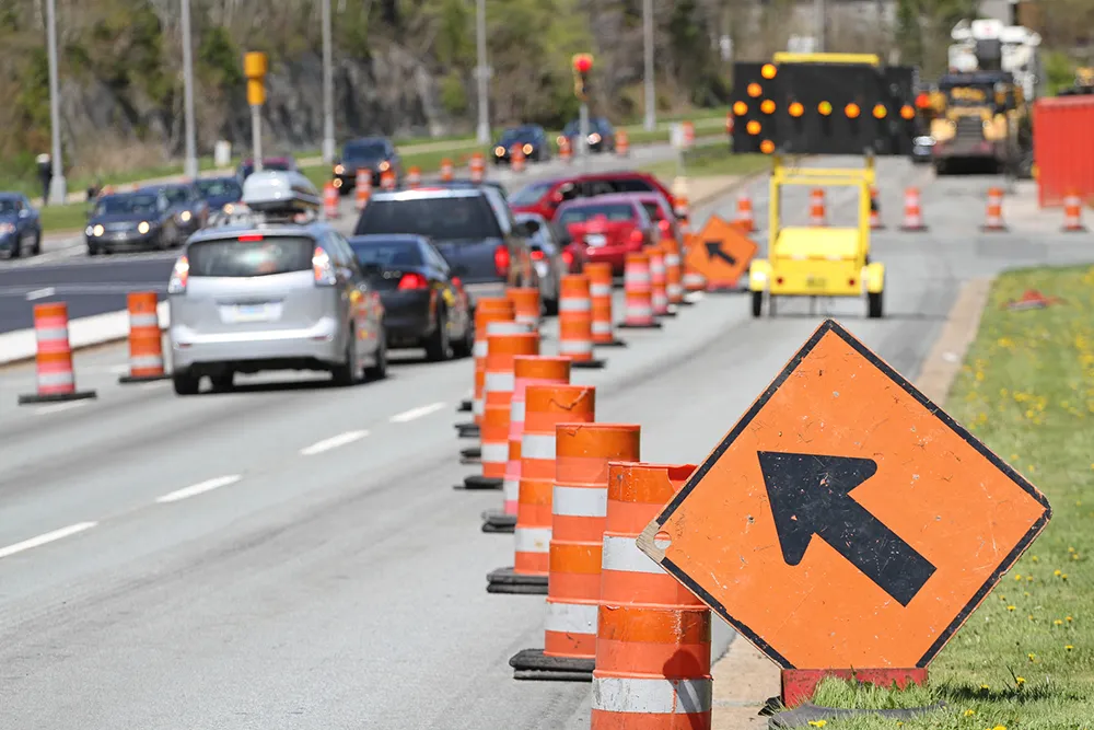
The Virginia Department of Transportation (VDOT) has selected StreetLight Data (SLD) to provide on-demand traffic and transportation intelligence. It aims to enable local and state planning agencies to transform Big Data from their mobile devices into useful mobility metrics via its regional subscription to SLD’s Insight platform. The service also offers unlimited analyses of real-world travel patterns in the state and is available for designated employees and engineering firms.
The 1747 Virginia Department of Transportation (VDOT) has selected StreetLight Data (SLD) to provide on-demand traffic and transportation intelligence. It aims to enable local and state planning agencies to transform Big Data from their mobile devices into useful mobility metrics via its regional subscription to SLD’s Insight platform. The service also offers unlimited analyses of real-world travel patterns in the state and is available for designated employees and engineering firms.