Vancouver narrows bridge & tunnel options

The Burrard Inlet Rapid Transit Study has now identified five potential crossings
By David Arminas September 21, 2020 Read time: 2 mins
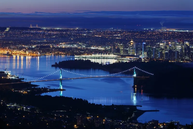
Transport crossings in Vancouver: more needed (© Vismax | Dreamstime.com)

The British Columbia government has identified five potential crossings for the proposed high-capacity rapid transit across the Burrard Inlet from Vancouver to the North Shore.

The technical feasibility study, led by engineering consultancy Mott MacDonald Canada, has come up with three tunnel and two bridge proposals for cars and buses.

The plan will help inform the long-term Transport 2050 planning, led by TransLink and the Mayors’ Council, according to a statement by the BC government’s Ministry of Transportation and Infrastructure.

Possible routes for future planning consideration (see map below) are:

  • Downtown Vancouver to Lonsdale via First Narrows (tunnel)
  • Downtown Vancouver to Lonsdale via Brockton Point (tunnel)
  • Downtown Vancouver to West Vancouver via Lonsdale (tunnel)
  • Downtown Vancouver to Lonsdale via Second Narrows (new bridge)
  • Burnaby to Lonsdale via Second Narrows (new bridge)

The ministry, the districts of North Vancouver and West Vancouver and the cities of Vancouver and North Vancouver all contributed funding towards the study. TransLink oversaw the technical work.

The technical feasibility study was also the first to be a co-ordinated effort by the BC province in partnership with Indigenous governments, municipalities and TransLink to identify a potential rapid transit solution across the Burrard Inlet.

TransLink is the Vancouver area’s regional transportation authority coordinating transit throughout the lower mainland area – around the Fraser River Valley.

The Mayors' Council, set up by TransLink, is composed of representatives from each of the 21 municipalities within the transportation service region. It also includes Indigenous – native American - groups such as the Tsawwassen First Nation.

Improved transit is part of the BC government’s CleanBC plan that aims to reduce congestion and carbon pollution. CleanBC was developed in collaboration with the BC Green Party, an environmental political party.

Vancouver transit plan
Map courtesy of British Columbia Ministry of Transportation and Infrastructure


Related Content

  • White lines? Cyclists need more
    August 5, 2020
    Just painting lines on the road isn’t sufficient to persuade most people to cycle – you need to separate them from motor vehicles altogether. David Arminas talks to transportation engineer Tyler Golly about the Covid ‘wake-up call’
  • Chile plans feasibility studies to extend three metro lines
    March 14, 2014
    Chile's transport ministry plans to launch feasibility studies to extend three metro lines in the capital, Santiago. The plans include expanding the north-south line 2 south towards El Bosque and San Bernardo neighbourhoods and line 3, currently under construction, north to Quilicura, according to transport minister Andrés Gómez-Lobo. The other proposal is to expand further south line 4, which connects Santiago's eastern neighbourhood of Providencia with the town of Puente Alto to the southeast of the
  • European associations and congress news
    August 19, 2015
    A preliminary speaker line-up and a number of live demonstrations have been announced for the 2015 ITS World Congress. The demonstrations will include Automatic Braking, a plug in ‘connected vehicle’ Cooperative Adaptive Cruise Control at Intersections, Remote Parking and Driver Monitoring System for Automated Driving and Bicycle Tracking. As part of the Automatic Emergency Braking demonstration the driver’s performance will be analysed, along with the behaviour of the other road users. Drivers will receiv
  • We need to talk about AVs
    October 15, 2021
    Will driverless vehicles lead to more deaths and destroy more lives than their manual counterparts? Transport writer Colin Sowman argues that they will