Vancouver narrows bridge & tunnel options

The Burrard Inlet Rapid Transit Study has now identified five potential crossings
By David Arminas September 21, 2020 Read time: 2 mins
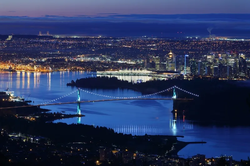
Transport crossings in Vancouver: more needed (© Vismax | Dreamstime.com)

The British Columbia government has identified five potential crossings for the proposed high-capacity rapid transit across the Burrard Inlet from Vancouver to the North Shore.

The technical feasibility study, led by engineering consultancy Mott MacDonald Canada, has come up with three tunnel and two bridge proposals for cars and buses.

The plan will help inform the long-term Transport 2050 planning, led by TransLink and the Mayors’ Council, according to a statement by the BC government’s Ministry of Transportation and Infrastructure.

Possible routes for future planning consideration (see map below) are:

  • Downtown Vancouver to Lonsdale via First Narrows (tunnel)
  • Downtown Vancouver to Lonsdale via Brockton Point (tunnel)
  • Downtown Vancouver to West Vancouver via Lonsdale (tunnel)
  • Downtown Vancouver to Lonsdale via Second Narrows (new bridge)
  • Burnaby to Lonsdale via Second Narrows (new bridge)

The ministry, the districts of North Vancouver and West Vancouver and the cities of Vancouver and North Vancouver all contributed funding towards the study. TransLink oversaw the technical work.

The technical feasibility study was also the first to be a co-ordinated effort by the BC province in partnership with Indigenous governments, municipalities and TransLink to identify a potential rapid transit solution across the Burrard Inlet.

TransLink is the Vancouver area’s regional transportation authority coordinating transit throughout the lower mainland area – around the Fraser River Valley.

The Mayors' Council, set up by TransLink, is composed of representatives from each of the 21 municipalities within the transportation service region. It also includes Indigenous – native American - groups such as the Tsawwassen First Nation.

Improved transit is part of the BC government’s CleanBC plan that aims to reduce congestion and carbon pollution. CleanBC was developed in collaboration with the BC Green Party, an environmental political party.

Vancouver transit plan
Map courtesy of British Columbia Ministry of Transportation and Infrastructure


Related Content

  • Costing transit is complicated case
    August 19, 2015
    David Crawford welcomes fresh thinking from Canada. Public transit improvements can bring society “significantly more value” than conventional transport models normally indicate, argues Canadian researcher Todd Litman. “Traditional evaluation practices originally developed to assess roadway improvements, and focus primarily on vehicle travel speeds and operating costs. “They do not generally quantify or monetise basic mobility benefits, vehicle ownership and parking cost savings, or efficient land developme
  • Detroit bridge to 'enhance community connectivity and mobility'
    February 23, 2024
    Gordie Howe International Bridge will link trail systems between Canada and the US
  • Reconnecting communities with infrastructure improvements
    January 7, 2025
    Hundreds of projects to reconnect US communities separated by roadways will launch in 2025. Mary Scott Nabers takes a look at a few of them and outlines what’s involved
  • IBI Group and Cellint to provide cell-based traffic information for Greater Vancouver area
    June 12, 2012
    IBI Group, a provider of toll and traffic management solutions for government agencies, highway operators and concession companies, and Cellint Traffic Solutions, a provider of real-time road traffic information based on cellular data, have announced a cooperation agreement that builds on their current regional traffic data system project in Vancouver, Canada, funded by TransLink, the British Columbia Ministry of Transportation & Infrastructure, and Transport Canada. Cellint's TrafficSense provides traffic