Sam Schwartz Engineering (SSE)’s Transportation Demand Management (TDM) Plan for the Barclays Center, a multi-purpose indoor arena in Brooklyn, New York was recently pronounced a success in headlines across the city. The arena hosts the National Basketball Association’s Brooklyn Nets, as well over 200 other annual events including concerts, conventions and other sports. It is within walking distance of eleven New York City Transit (NYCT) subway lines, directly across the street from a Long Island Rail Road
Sam Schwartz Engineering (SSE)’s Transportation Demand Management (TDM) Plan for the 5582 Barclays Center, a multi-purpose indoor arena in Brooklyn, New York was recently pronounced a success in headlines across the city.
The arena hosts the National Basketball Association’s Brooklyn Nets, as well over 200 other annual events including concerts, conventions and other sports. It is within walking distance of eleven New York City Transit (NYCT) subway lines, directly across the street from a Long Island Rail Road (LIRR) terminal, and served by eleven NYCT bus routes.
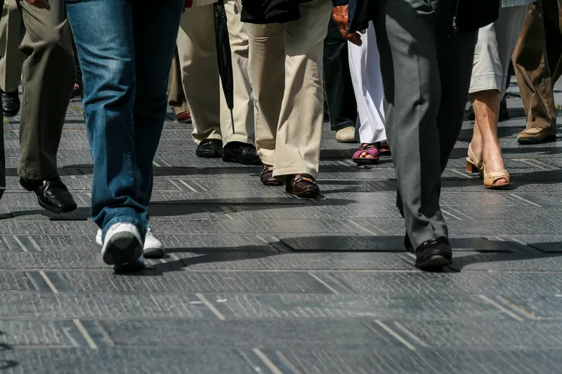
The overall goals of the TDM plan were to minimise the number of vehicles that travel to the arena and to minimise the impact on the surrounding area from the patrons who insist on driving, regardless of the available alternatives.
As the Barclays Center was not open while the TDM plan was being developed, SSE conducted a travel intent survey of more than 2,000 likely attendees. Asked how they would travel to the arena, 45 per cent chose transit. When informed about the exact location of the arena and the transportation options available, a further nine per cent opted for transit.
The TDM prepared by SSE has been in place for arena events since the venue opened in September 2012 and includes a focus on marketing the transit service at the arena and communicating the message that there is limited parking in the area. In addition, a host of other measures were implemented to minimise the number of vehicles travelling to the arena.
An effectiveness study of the plan showed that it surpassed its original target for reducing peak hour car traffic within half a mile of the arena. Actual car volume figures were 40 per cent below pre-game peak hour goals, and 20 per cent below post-game peak hour goals. Several factors facilitated the achievement: fewer event-goers drove than expected and vehicle occupancy was greater than expected.
The arena hosts the National Basketball Association’s Brooklyn Nets, as well over 200 other annual events including concerts, conventions and other sports. It is within walking distance of eleven New York City Transit (NYCT) subway lines, directly across the street from a Long Island Rail Road (LIRR) terminal, and served by eleven NYCT bus routes.
The overall goals of the TDM plan were to minimise the number of vehicles that travel to the arena and to minimise the impact on the surrounding area from the patrons who insist on driving, regardless of the available alternatives.
As the Barclays Center was not open while the TDM plan was being developed, SSE conducted a travel intent survey of more than 2,000 likely attendees. Asked how they would travel to the arena, 45 per cent chose transit. When informed about the exact location of the arena and the transportation options available, a further nine per cent opted for transit.
The TDM prepared by SSE has been in place for arena events since the venue opened in September 2012 and includes a focus on marketing the transit service at the arena and communicating the message that there is limited parking in the area. In addition, a host of other measures were implemented to minimise the number of vehicles travelling to the arena.
An effectiveness study of the plan showed that it surpassed its original target for reducing peak hour car traffic within half a mile of the arena. Actual car volume figures were 40 per cent below pre-game peak hour goals, and 20 per cent below post-game peak hour goals. Several factors facilitated the achievement: fewer event-goers drove than expected and vehicle occupancy was greater than expected.