Trafik Stockholm (TS) has chosen Blip Track technology from Denmark-based Blip Systems to alleviate congestion on the city's road by providing live traffic information via real-time and historical travel flow data from road users’ Bluetooth and Wi-Fi devices. Travel times are continuously updated in line with the behaviour of road users so that by considering their route and the time they depart, they can help to reduce bottlenecks and keep traffic moving.
The technology provides a birds-eye view of the traffic network and statistical information on the travel times, average speed, dwell times, and movement patterns.
Additionally, the empirical data is used to detect driving time anomalies to pinpoint road sections and intersections where driving times deviate from the norm. These can include scenarios such as construction projects, incidents, roadwork, faulty traffic lights and other factors.
If driving times deviate from the typical driving time, the system automatically raises a flag. As the system logs and visualises all deviations, traffic engineers can create historical performance and reliability reports. Managers are provided with an overview of the current situation and tendencies over time, to allow for road improvements and development where needed.
Otto Astrand, traffic analyst at TS, said: “We use the data for measuring the development in traffic density, speed and congestion. South of Stockholm, where we first installed the solution, will be a roadwork zone for many years ahead, when building the Stockholm Bypass. It will not only affect the main highway (E4) running through the work zone, but also the surrounding roads. With BlipTrack we are able to measure the capacity and traffic flow in real-time in and around the area. This allows us to take proactive steps to initiate countermeasures, if traffic build-up should occur. It also helps us to understand various traffic-related matters, such as the impact of traffic control, weather-related patterns, congestion patterns at roadworks, accidents and events, and driving behaviours and patterns. With this information, we can evaluate and validate existing traffic models and make informed decisions about where to prioritise expansions and optimisations to help the daily commute.”
Astrand added that the analysed data is also used to display live traffic information on signs around the city. “We also use the data to display live travel times via Trafiken.nu, which is our traffic information hub, and on around 40 VMS [variable message signs] placed around the city. The travel times help road users to make informed decisions about their journey, both in real-time and for those planning their daily commute."
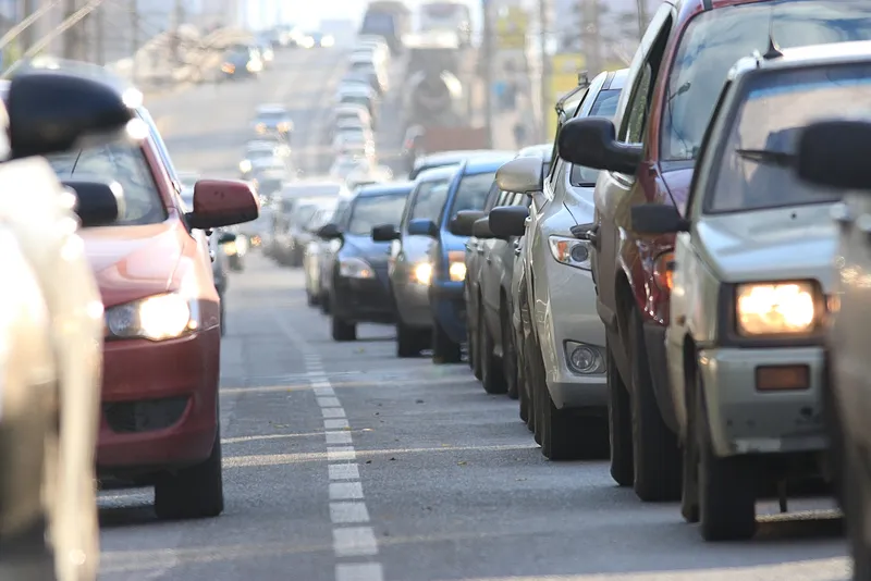
Trafik Stockholm uses data gathered from Bluetooth and Wi-Fi to alleviate congestion
Trafik Stockholm (TS) has chosen Blip Track technology from Denmark-based Blip Systems to alleviate congestion on the city's road by providing live traffic information via real-time and historical travel flow data from road users’ Bluetooth and Wi-Fi devices. Travel times are continuously updated in line with the behaviour of road users so that by considering their route and the time they depart, they can help to reduce bottlenecks and keep traffic moving. The technology provides a birds-eye view of the