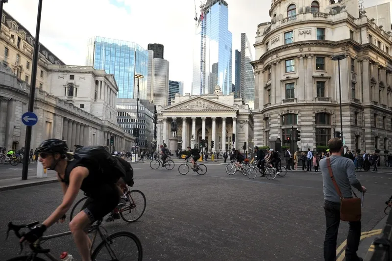
TfL challenges app designers to make the most of cycling data

Transport for London (TfL) has challenged app designers to improve their services to cyclists after expanding the data it makes available to them. TfL has added mapping information for eight Cycle Superhighways and one Quietway to their open data portal, allowing developers to make it even easier for Londoners to find and use the best cycle routes. New Superhighways and Quietways will be added as they open. The information allows developers to accurately map out the existing network within apps and on
April 7, 2017 Read time: 2 mins
1466 Transport for London (TfL) has challenged app designers to improve their services to cyclists after expanding the data it makes available to them.

TfL has added mapping information for eight Cycle Superhighways and one Quietway to their open data portal, allowing developers to make it even easier for Londoners to find and use the best cycle routes. New Superhighways and Quietways will be added as they open.

The information allows developers to accurately map out the existing network within apps and on websites. This can be combined with previously released open data, such as the location of cycle parking at London Underground stations and the location and availability of bikes from the 780 Santander Cycles docking stations across the city, to help cyclists plan their routes easily.

TfL’s real-time travel data is available to developers to help them create better products and services for customers. More than 600 apps powered by TfL data are used by millions of people every day, which includes live travel and journey planning information for bus, Tube and rail networks, data on station accessibility and information on the busiest times on trains and in stations on London Underground.

A key focus will be getting Londoners to reduce their reliance on car use, which will not only help them be more active, but help tackle London’s air pollution crisis.
UTC

Related Content

  • October 12, 2016
    Waze and TfL collaborate to help ease congestion in London
    Waze, the free, real-time crowd-sourced traffic and navigation app powered by the world’s community of drivers, is to partner with Transport for London (TfL), which will provide its real-time government-reported construction, collision and road closure data from its open API to Waze for the app to confidently and accurately provide information to drivers to enable them to plan their journeys. It is hoped that this will be the first of many British collaborations. The Waze Connected Citizens Program is d
  • January 25, 2018
    Fara keeps data delivery simple
    Simplifying the delivery of data and information gathered by traffic management, ticketing and other systems can improve travel efficiency and the traveller’s experience. Having quantified and analysed the previously unmonitored movement of road vehicles, trains, metros, cyclists and pedestrians, the ITS sector is a prime example of the digital world. Patterns discerned from those previously random happenings enable authorities to design more efficient transport systems, allow transport operators to run
  • May 18, 2020
    Car-free zones part of London 'reimagining'
    Parts of central London will become “one of the largest car-free zones in any capital city in the world”, according to the city’s mayor Sadiq Khan.
  • July 14, 2016
    TfL and Cubic agree to licence London’s contactless ticketing system for use worldwide
    Transport for London (TfL) has announced its contactless ticketing system is set to be used by other major cities across the globe as part of a deal worth up to US$20 million (£15 million, which will be used to help deliver a fares freeze that the Mayor of London, Sadiq Khan has announced across TfL services for the next four years. TfL signed a deal with Cubic Transportation Systems (CTS), allowing them to adapt the capital’s contactless ticketing system worldwide. It is the first of a number of plann