Transport for London (TfL) has challenged app designers to improve their services to cyclists after expanding the data it makes available to them.
TfL has added mapping information for eight Cycle Superhighways and one Quietway to their open data portal, allowing developers to make it even easier for Londoners to find and use the best cycle routes. New Superhighways and Quietways will be added as they open.
The information allows developers to accurately map out the existing network within apps and on
April 7, 2017
Read time: 2 mins
TfL has added mapping information for eight Cycle Superhighways and one Quietway to their open data portal, allowing developers to make it even easier for Londoners to find and use the best cycle routes. New Superhighways and Quietways will be added as they open.
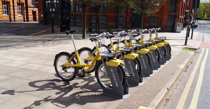
The information allows developers to accurately map out the existing network within apps and on websites. This can be combined with previously released open data, such as the location of cycle parking at London Underground stations and the location and availability of bikes from the 780 Santander Cycles docking stations across the city, to help cyclists plan their routes easily.
TfL’s real-time travel data is available to developers to help them create better products and services for customers. More than 600 apps powered by TfL data are used by millions of people every day, which includes live travel and journey planning information for bus, Tube and rail networks, data on station accessibility and information on the busiest times on trains and in stations on London Underground.
A key focus will be getting Londoners to reduce their reliance on car use, which will not only help them be more active, but help tackle London’s air pollution crisis.


