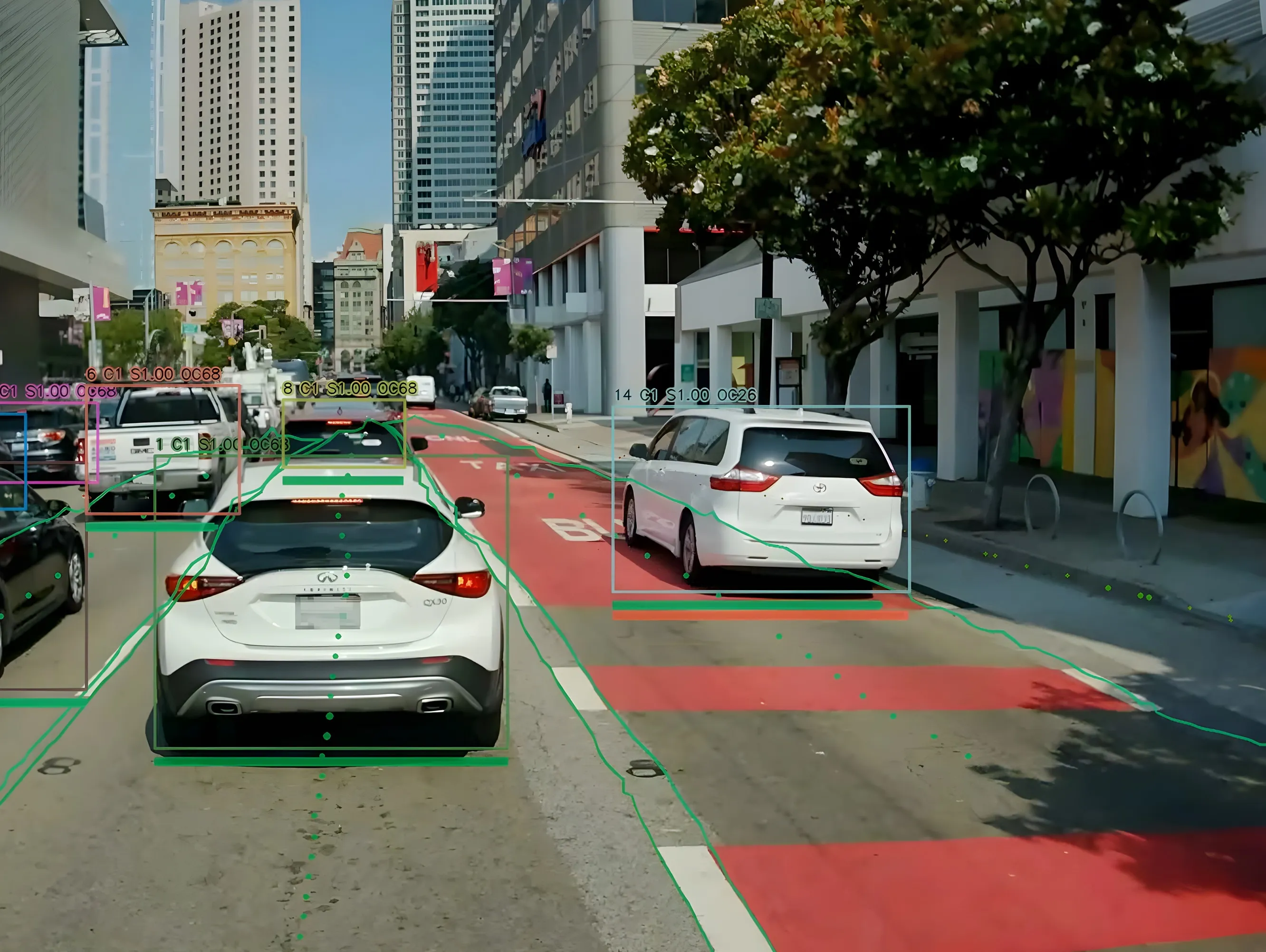
StreetLight Data launches solution to combat traffic jams

Mobility analytics company StreetLight Data has released its Traffic Diagnostics tool to help transportation planners diagnose the cause of traffic jams and identify solutions. The product is available to new and existing clients in the US. Streetlight Data says the platform compares thousands of traffic jams in minutes and helps planners save money by ensuring that infrastructure is put in the right place. In addition, users can create visualisations that tell the story of traffic jams to stakeholders.
May 11, 2018 Read time: 2 mins
Mobility analytics company StreetLight Data has released its Traffic Diagnostics tool to help transportation planners diagnose the cause of traffic jams and identify solutions. The product is available to new and existing clients in the US.


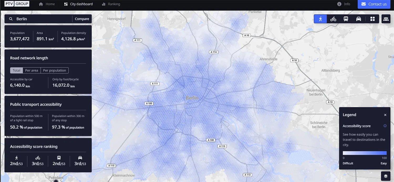
Streetlight Data says the platform compares thousands of traffic jams in minutes and helps planners save money by ensuring that infrastructure is put in the right place. In addition, users can create visualisations that tell the story of traffic jams to stakeholders.  

Traffic Diagnostics also offers a breakdown of project opportunities that can provide long-term solutions to jams. The system generates project shortlists with high potential to assist public agencies in identifying initiatives for deep-dive analyses and public engagement.

The solution is an addition to StreetLight InSight, an on-demand platform aimed at turning big data from mobile devices into transportation data analytics. Traffic Diagnostics suggests the best solution for individual jam by focusing on optimal locations for new bicycle lanes and sidewalks, transit routes, employer shuttles and network improvements.

UTC

Related Content

  • December 10, 2015
    Phoenix rises to the Smart City challenge
    Andrew Bardin Williams looks at the City of Phoenix where voters backed a $30bn plan to revamp its transportation network to cultivate a more connected community. According to a Land Use Institute study, half of all Americans and even more millennials (63%) would like to live in a place where they do not need to use a car very often. The City of Phoenix is putting in place plans to revamp its urban development and transportation policies to meet these changing quality of life perceptions.
  • December 5, 2012
    Reducing congestion with Tomtom's historical traffic data
    Historical traffic data provided by TomTom is being used by the local government in Spain’s Basque region to reduce road congestion at less cost. Old habits die hard. Photos from as far back as the 1930s show people counting cars by the roadside in order to provide congestion data to those running road networks. Today, such techniques are still used, albeit augmented by a range of automation technologies such as inductive loops, infra-red sensors and number plate recognition. Even with these advances, howe
  • January 14, 2020
    Colorado DoT locates data-rich environment
    Colorado DoT and Esri have been cooperating to unlock data’s potential. Jason Barnes finds out what that has to do with firing a howitzer at snowy mountains – and exactly why things that happened in the past point the way towards future proofing
  • August 29, 2024
    Hayden AI & Snapper Services keep their eyes on the road
    Snapper Services CEO Miki Szikszai and Chris Carson, CEO of Hayden AI, tell Adam Hill about synergy and partnership – and how to make use of data once you’ve gathered it