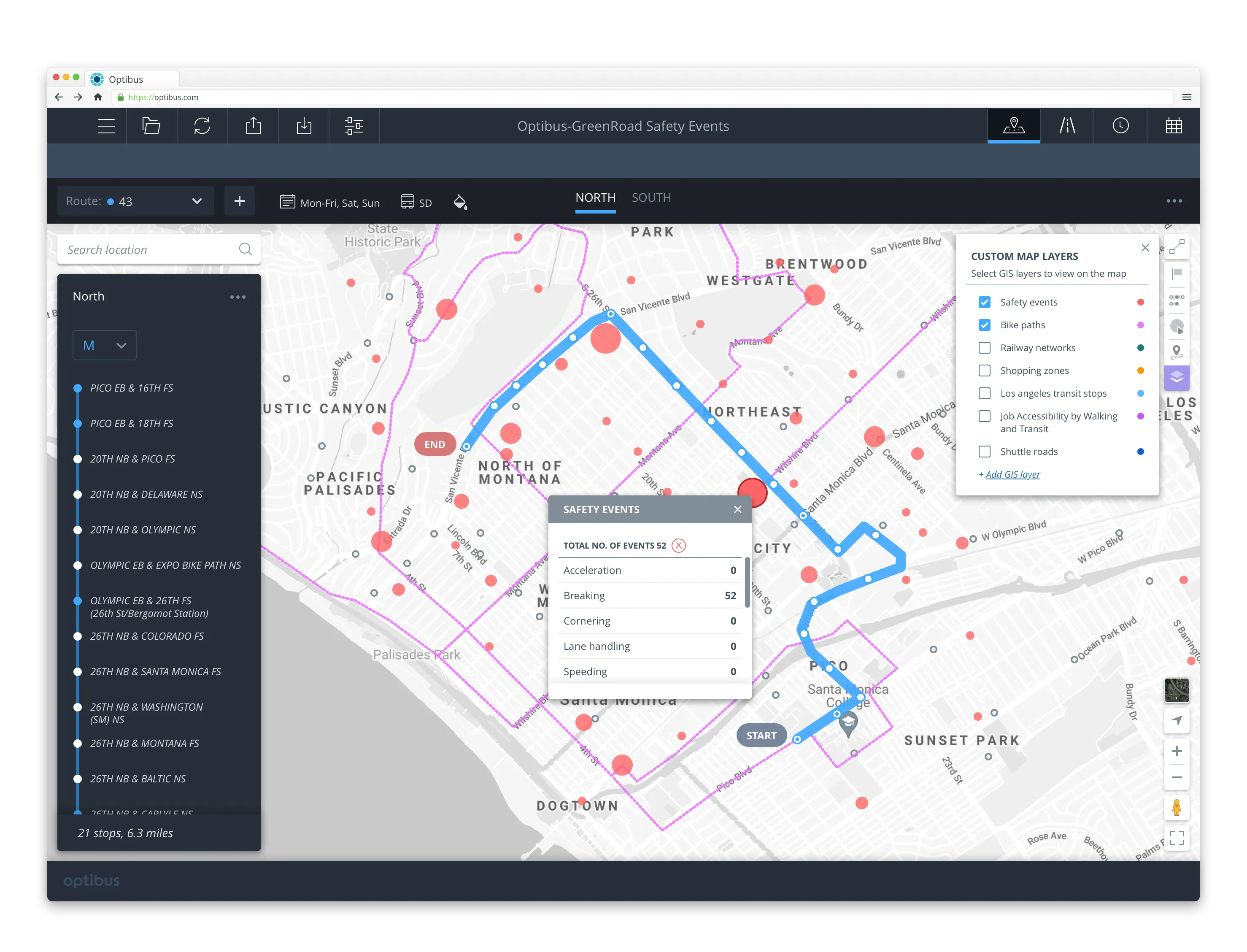
Streetlight Data says the platform compares thousands of traffic jams in minutes and helps planners save money by ensuring that infrastructure is put in the right place. In addition, users can create visualisations that tell the story of traffic jams to stakeholders.
Traffic Diagnostics also offers a breakdown of project opportunities that can provide long-term solutions to jams. The system generates project shortlists with high potential to assist public agencies in identifying initiatives for deep-dive analyses and public engagement.
The solution is an addition to StreetLight InSight, an on-demand platform aimed at turning big data from mobile devices into transportation data analytics. Traffic Diagnostics suggests the best solution for individual jam by focusing on optimal locations for new bicycle lanes and sidewalks, transit routes, employer shuttles and network improvements.
StreetLight Data launches solution to combat traffic jams
Mobility analytics company StreetLight Data has released its Traffic Diagnostics tool to help transportation planners diagnose the cause of traffic jams and identify solutions. The product is available to new and existing clients in the US.
Streetlight Data says the platform compares thousands of traffic jams in minutes and helps planners save money by ensuring that infrastructure is put in the right place. In addition, users can create visualisations that tell the story of traffic jams to stakeholders.
May 11, 2018
Read time: 2 mins
Mobility analytics company StreetLight Data has released its Traffic Diagnostics tool to help transportation planners diagnose the cause of traffic jams and identify solutions. The product is available to new and existing clients in the US.


