StreetLight Data expands AADT to Canada

StreetLight Data has expanded its Annual Average Daily Traffic (AADT) metrics to Canada to assist transportation planners and engineers in analysing infrastructure projects and estimating road safety. StreetLight Data says AADT provides on-demand traffic volumes for over 4.5 million miles of Canadian and US roadways. The StreetLight Insight platform will allow users to obtain accurate AADT counts for nearly every Canadian and US road in minutes, the company adds. Laura Schewel, CEO of StreetLight Data
July 15, 2019 Read time: 1 min
8830 StreetLight Data has expanded its Annual Average Daily Traffic (AADT) metrics to Canada to assist transportation planners and engineers in analysing infrastructure projects and estimating road safety.


StreetLight Data says AADT provides on-demand traffic volumes for over 4.5 million miles of Canadian and US roadways.

The StreetLight Insight platform will allow users to obtain accurate AADT counts for nearly every Canadian and US road in minutes, the company adds.

Laura Schewel, CEO of StreetLight Data, says: “With our AADT Canada release we can now bring complete traffic data sets to planners covering both Canada’s largest cities and extensive rural areas.”

The company says AADT can be rendered for bi-directional traffic or can focus on traffic moving in one direction on a roadway, including ramps, freeway-to-freeway connectors or local roads. Each analysis also includes a prediction interval for the metrics provided.

For more information on companies in this article

Related Content

  • Manchester seeks smart but not selective transport solutions
    January 25, 2018
    Smarter transport relies on better communications both with travellers and between transport providers. Andrew Williams reports. Inrix’s prediction that the cost of traffic congestion will rise by 63% to £21bn per year by 2030 clearly illustrates that, in addition to the ongoing inconvenience and inefficiency, ongoing gridlock is a significant drain on the economy. It is against this backdrop that a Cisco-led consortium has launched CitySpire, a smart transport programme that uses location-based services a
  • The search for travel management's Holy Grail
    October 10, 2018
    Combining accurate network estimates and forecasts with real-time information is the way to deal with traffic hot spots. Alan Dron looks at products which aim to achieve just that. Traffic management authorities have for years been trying to get ahead of the game. Instead of reacting to situations, they want to be able to head them off as they occur – or even before they happen. Finding that Holy Grail of successfully anticipating problems will save time, tension and tempers on city streets. Two new system
  • Inrix expands Signal Analytics capabilities 
    February 19, 2021
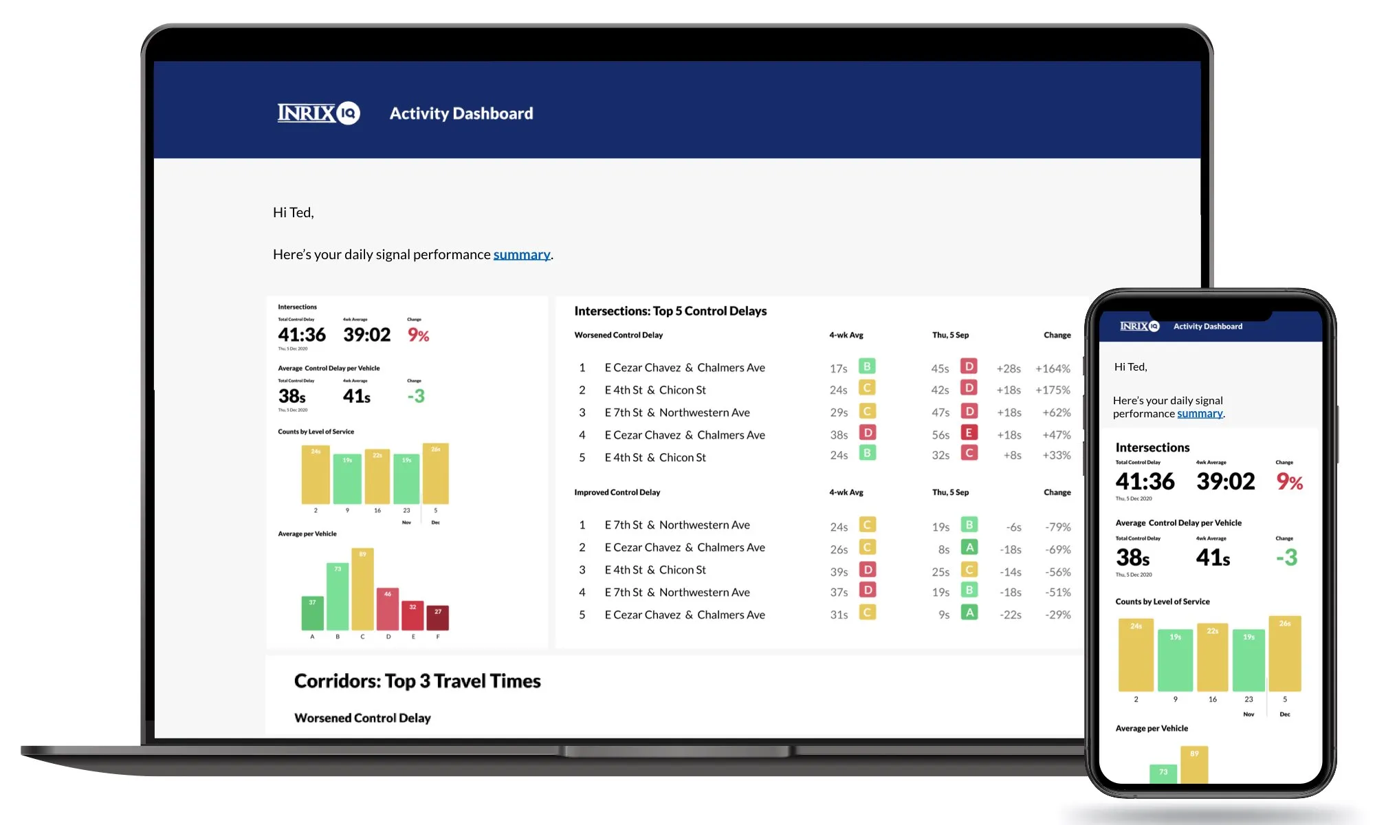
    Operators can now understand performance of 210,000 signalised intersections, firm says 
  • Measuring vehicle lengths with a single loop - promising results
    July 27, 2012
    District 7 of Caltrans has been conducting trials to see whether the use of a single inductive loop to measure vehicle lengths and so identify heavy trucks is feasible. So far, the results have been very promising, according to Lead Transportation Engineer Steve Malkson. Between them, the adjoining ports of Los Angeles and Long Beach, the US's two biggest, cover some 10,700 acres (43km2) and 68 miles (109km) of waterfront.