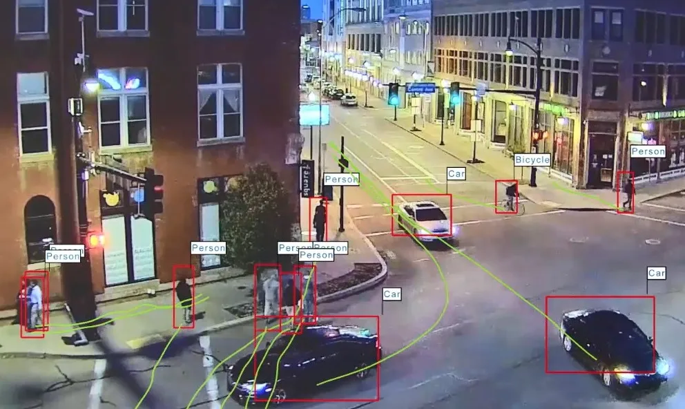
Traffic management agencies and city planners will soon have access to real-time data to better manage traffic flows on the streets of Cebu City and Metro Manila.
The
Grab and the World Bank have been developing free, open-source tools that translate Grab’s voluminous driver GPS data into traffic statistics, including speeds, flows, and intersection delays. These statistics power big data open source tools such as OpenTraffic, for analysing traffic speeds and flows.
In the near future, traffic statistics derived through OpenTraffic will be fed into another application called DRIVER or Data for Road Incident Visualisation, Evaluation, and Reporting for road incident recording and analysis. This application, developed by the World Bank, will help engineering units to prioritise crash-prone areas for interventions and improve emergency response.
“Using big data is one of the potential solutions to the challenges faced by our transport systems. Through this we can provide accurate, real-time information for initiatives that can help alleviate traffic congestion and improve road safety,” said DOTC Secretary Joseph Emilio A. Abaya.
“By leveraging advances in open-software and big data collaborations with companies like Grab, transport managers and city planners can have access to the most advanced congestion management analytical tools available,” said Mara Warwick, World Bank country director.
Smart data to help manage congestion in the Philippines
Traffic management agencies and city planners will soon have access to real-time data to better manage traffic flows on the streets of Cebu City and Metro Manila. The World Bank, the Department of Transportation and Communications (DOTC) and Grab, a third-party ride booking app provider, have launched the OpenTraffic initiative, which it is hoped will help address traffic congestion and road safety challenges.
May 5, 2016
Read time: 2 mins


