SEPAC Peer-to-Peer software allows intersection controllers to share information with one another on traffic and pedestrian conditions, allowing the on-street network of controllers to adaptively respond to changing traffic conditions in real-time.
In the field, a controller can transmit information about a large number of vehicles to a controller at the next traffic signal. This allows extra green time for the group of cars to move through multiple intersections, making traffic more efficient for operators and the travelling public.
According to James Rogge, traffic engineer for Abilene, since the implementation of the technology, the City has seen significant improvements in traffic flow through the once congested area.
The Peer-to-Peer feature gives operators a greater level of insight into traffic conditions and more accuracy in adapting traffic patterns to increase flow and ultimately reduce congestion. The SEPAC software can be installed in existing traffic controllers and requires no additional equipment or IT infrastructure.
Siemens introduces new software for “talking” traffic intersections
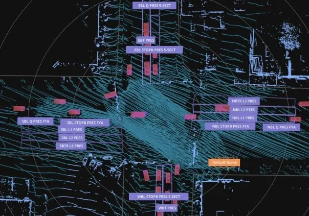
The city of Abilene, Texas, in the US is using new adaptive traffic control software from Siemens to increase traffic flow along a heavily travelled corridor, where two state highways meet at two intersections about 750 feet apart with elevated railroads passing between them. SEPAC Peer-to-Peer software allows intersection controllers to share information with one another on traffic and pedestrian conditions, allowing the on-street network of controllers to adaptively respond to changing traffic conditions
The city of Abilene, Texas, in the US is using new adaptive traffic control software from 189 Siemens to increase traffic flow along a heavily travelled corridor, where two state highways meet at two intersections about 750 feet apart with elevated railroads passing between them.