The Free Flow Profiler is an all-weather system suitable for vehicle tolling and classification uses, especially in operations such as optimal weight loading of ferries or trains and for verifying vehicle dimensions to maximise revenue recovery, the company adds.
During multi-lane, free road movement, Sick’s 2D Lidar sensors scan traffic and measure vehicle length, width and height. The system can be enlarged to include multiple lanes or adapted with varying sensor layouts to obtain the required information for monitoring purposes.
According to Sick, the system has a range up to 40m and can profile all vehicle types from heavy road transport to passenger cars, towed vehicles and motorbikes.
Vehicle measurements are processed in the Sick Traffic Controller to produce a 3D model of each vehicle. The system captures vehicle dimensions, vehicle type, driving direction and lane assignment. Options to integrate vehicle classification, axle counting or detection of overheated vehicle parts can be added to meet specific local operator conditions and requirements.
Neil Sandhu, Sick’s UK product manager for imaging, measurement, ranging, says the solution is versatile “whenever accurate 3D vehicle profile is an advantage”.
“For example, warnings of over-height or over-sized vehicles approaching bridges or tunnels, or loading ferries so that the distribution of vehicles and weights is optimised,” he continues. “Up to 30 different automated vehicle classifications enable precise charging of toll fees.”
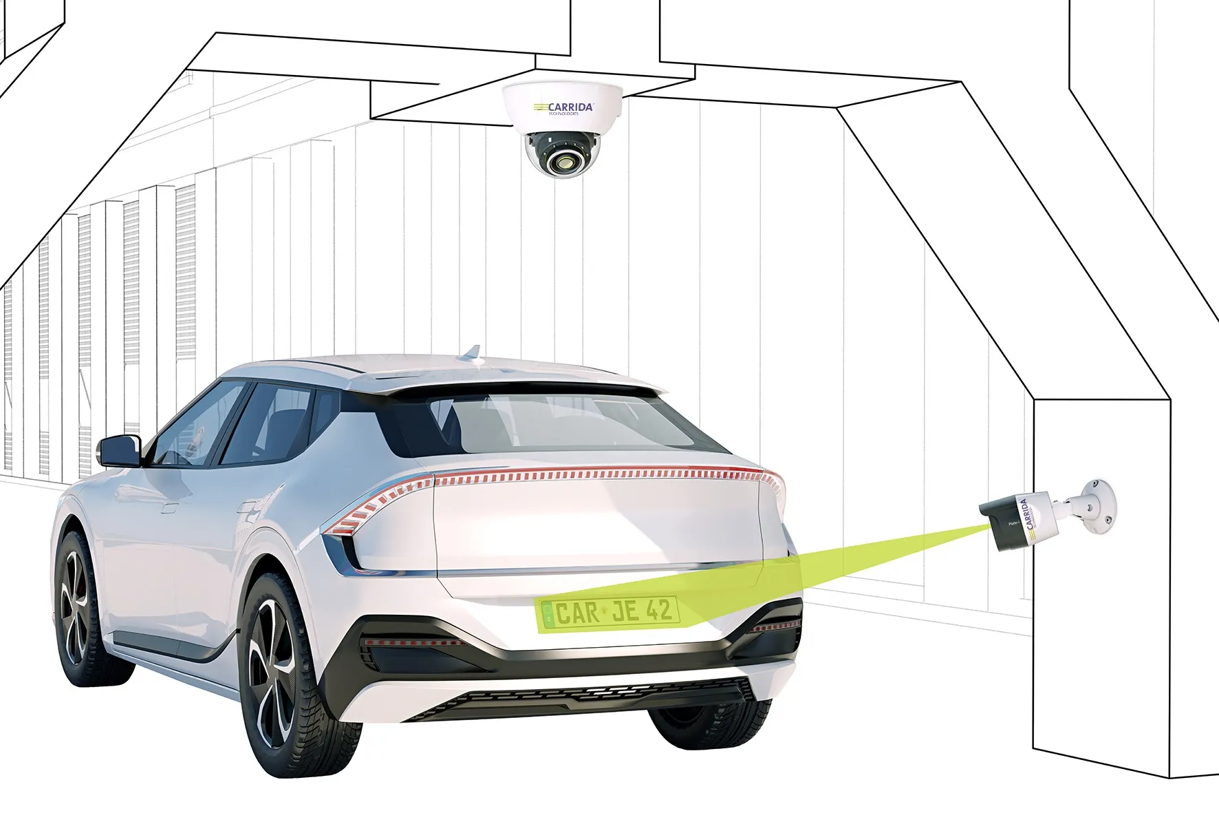
The system is expected to profile vehicle speeds up to 120km/hr and can be installed in new facilities, retrofitted and re-located. It can also be integrated with other traffic management monitoring systems such as optical character recognition, CCTV and security.
Sick unveils Free Flow Profiler for scanning vehicles
Sick has launched a vehicle measurement system which it says enables accurate 3D profiling of vehicles across multiple lanes in free-flow traffic.
The Free Flow Profiler is an all-weather system suitable for vehicle tolling and classification uses, especially in operations such as optimal weight loading of ferries or trains and for verifying vehicle dimensions to maximise revenue recovery, the company adds.
During multi-lane, free road movement, Sick’s 2D Lidar sensors scan traffic and measure vehicle l
May 20, 2019
Read time: 2 mins


