
QRoutes helps optimise routes for Sheffield’s special transport needs

Sheffield City Council is using cloud-based software from QRoutes to plan and refine around 145 routes for its Special Education Needs (SEN) Transport service. The UK council provides transport for 1,000 children to around 35 schools. Mike Keen, Sheffield’s senior transport officer, says the web-based solution’s multi-layered mapping allows users to view as many routes as required. Keen adds: “It takes about 30 seconds to run a plan and the system will give us an array of around ten different solution
June 6, 2018 Read time: 1 min
Sheffield City Council is using cloud-based software from 8661 QRoutes to plan and refine around 145 routes for its Special Education Needs (SEN) Transport service. The UK council provides transport for 1,000 children to around 35 schools.


Mike Keen, Sheffield’s senior transport officer, says the web-based solution’s multi-layered mapping allows users to view as many routes as required.

Keen adds: “It takes about 30 seconds to run a plan and the system will give us an array of around ten different solutions to consider – that would have taken days to do in the past.”

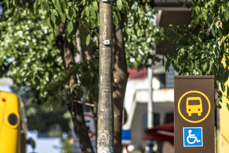
The SEN fleet includes a range of minibuses and large specialist wheelchair life vehicles that carry up to 16 passengers. The council also uses outsourced taxi services to transport 130 passengers that fall outside the scope of its fleet.

UTC

Related Content

  • May 10, 2019
    SafeRide: it’s time to act on cyberattacks
    Cyber threats are increasing rapidly and conventional security measures are unable to keep up. Ben Spencer talks to SafeRide’s Gil Reiter about what OEMs can do now As more vehicles become connected, so the potential threats to their security increase. Gil Reiter, vice president of product management for security firm SafeRide, says the biggest ‘attack surface’ for connected cars is their internet connectivity - and the in-vehicle applications that use the internet connection. “The most vulnerable co
  • September 6, 2017
    Options abound for road weather sensing
    Meteorological organisations invest millions in super-computers to crunch data for ever-more accurate forecasts but inherent unpredictability means that other methods of alerting drivers and road authorities to fast-changing weather and highway conditions are essential. For years, static weather sensors to measure factors such as surface water, ice or high roadway temperatures have been embedded in highways to provide such data. But that is changing.
  • August 5, 2016
    Hartford’s tailors winter maintenance on Esri’s GIS platform
    The in-house winter maintenance and vehicle tracking system built by the Public Works Department in Hartford, Connecticut, coped with record snowfalls and cut costs too. When it comes to dealing with the effects of mother nature, transport agencies can find themselves in a lose-lose situation: criticised if the roads or rail lines are disrupted by snow, ice or floods for more than a few hours and lambasted for wasting money if the equipment and stockpiles put in place for a hard winter remain unused.
  • April 24, 2020
    Transit must be accessible to all, says SkedGo
    When it comes to accessibility we need to embrace a more open and collaborative approach to ensure MaaS realises its true potential, says SkedGo’s Sandra Witzel – after all, a billion people on the planet have a disability