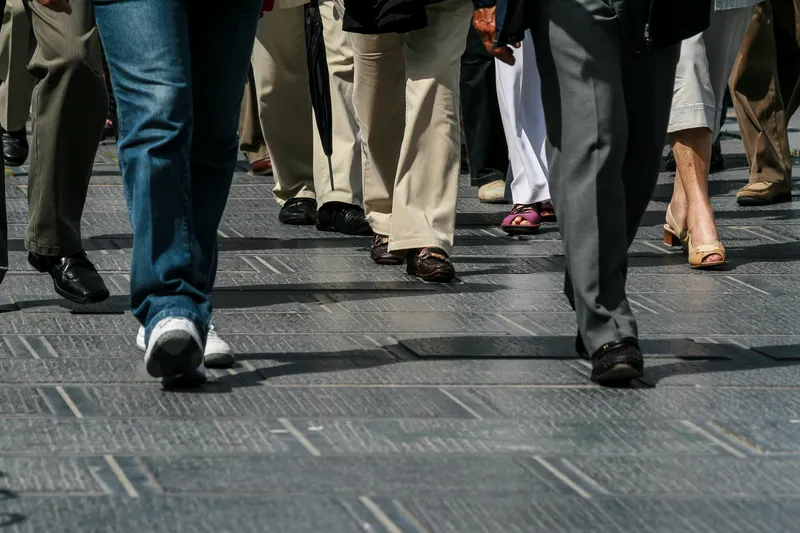
Pedestrian and cycle counters have been installed around Aberdeen, Scotland to accurately monitor numbers of people using pavements and cycleways.
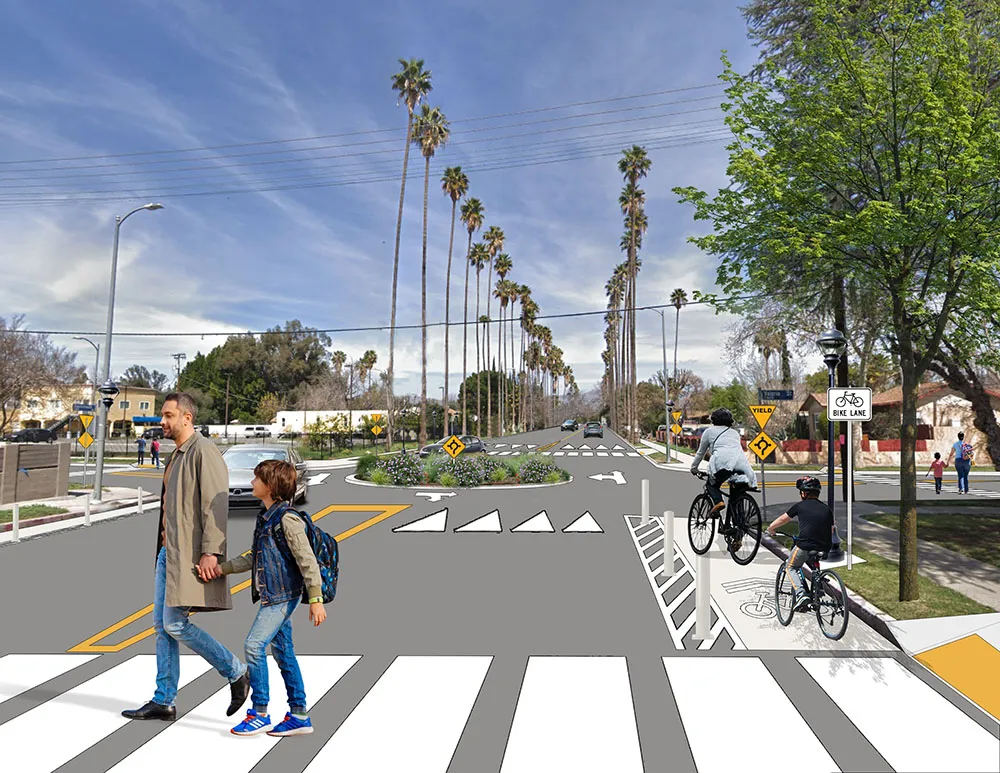
The equipment, from UK company Traffic Technology, includes 13 Eco Multi counters which have been installed beside strategic pavements, which include off-road paths, dual-use pavements and segregated routes and are on paths which connect residential areas to schools, employment areas, parks and riversides.
Some of the counters, which distinguish between ped
Pedestrian and cycle counters have been installed around Aberdeen, Scotland to accurately monitor numbers of people using pavements and cycleways.
The equipment, from UK company561 Traffic Technology, includes 13 Eco Multi counters which have been installed beside strategic pavements, which include off-road paths, dual-use pavements and segregated routes and are on paths which connect residential areas to schools, employment areas, parks and riversides.
Some of the counters, which distinguish between pedestrians and cycles on a single path and determines their direction, are on well-established routes while others are on new pavements or cycleways.
Aberdeen City Council Transport and Regeneration spokesman Councillor Ross Grant said: “We are spending US$630 million (£516million) on major infrastructure projects including the Berryden Corridor, the A96 Dyce Park and Choose, the AWPR (B-T), and the third Don crossing, and miles and miles of pedestrian pavements and cycleways.
“It is beneficial to put in counters around the city to measure the numbers of either extra people using the pavements and cycleways or how people are using them differently with all the infrastructure projects.
“We can analyse the data collected to find out which are the most popular routes, how many extra people use the pavements when they are improved, and for future planning purposes.”
The data collected by the counters enables the City Council to understand how popular routes are, and it can also demonstrate the benefits of improvements such as localised widening, improved access arrangements, and lighting. Where a new path has been installed, the counters provide data which enables the council to compare numbers of pedestrians and cyclists using the new path currently and in the future.
The equipment, from UK company
Some of the counters, which distinguish between pedestrians and cycles on a single path and determines their direction, are on well-established routes while others are on new pavements or cycleways.
Aberdeen City Council Transport and Regeneration spokesman Councillor Ross Grant said: “We are spending US$630 million (£516million) on major infrastructure projects including the Berryden Corridor, the A96 Dyce Park and Choose, the AWPR (B-T), and the third Don crossing, and miles and miles of pedestrian pavements and cycleways.
“It is beneficial to put in counters around the city to measure the numbers of either extra people using the pavements and cycleways or how people are using them differently with all the infrastructure projects.
“We can analyse the data collected to find out which are the most popular routes, how many extra people use the pavements when they are improved, and for future planning purposes.”
The data collected by the counters enables the City Council to understand how popular routes are, and it can also demonstrate the benefits of improvements such as localised widening, improved access arrangements, and lighting. Where a new path has been installed, the counters provide data which enables the council to compare numbers of pedestrians and cyclists using the new path currently and in the future.