Panasonic and UDoT to develop transportation data network

Panasonic North America has entered into a $50 million partnership with the Utah Department of Transportation (UDoT) to develop an advanced transportation data network. Panasonic says the network will improve safety and mobility on the road by sharing data between vehicles, infrastructure, roadways and traffic operators in real-time. The network is expected to provide the UDoT traffic operations centre with insights into crashes, severe weather or stalled vehicles. Personnel working at the centre wi
June 25, 2019 Read time: 2 mins
598 Panasonic North America has entered into a $50 million partnership with the 1904 Utah Department of Transportation (UDoT) to develop an advanced transportation data network.


Panasonic says the network will improve safety and mobility on the road by sharing data between vehicles, infrastructure, roadways and traffic operators in real-time.

The network is expected to provide the UDoT traffic operations centre with insights into crashes, severe weather or stalled vehicles. Personnel working at the centre will also be able to alert connected vehicle drivers in real-time with alternative routes and delay times.

Panasonic is hoping the agreement will support UDoT in the development of a statewide system for collecting, monitoring and shares connected and autonomous vehicle data.

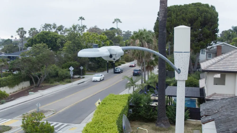
Both parties will install intelligent sensors and vehicle-mounted software and equipment along selected sections of Utah highways to collect and transmit data speeds up to 10 times per second, Panasonic adds.

A central cloud-based system monitors the information from the sensor/vehicle network and automatically generates alerts that are shared with vehicles, infrastructure components and UDoT personnel.

The first phase of the system will include 40 installation sites, along with a fleet of 30 state-owned vehicles. The partners will identify locations for the system and then develop new software applications, install sensor networks along selected roads.

Panasonic has confirmed that future phases of the system will expand to include 220 installation sites and up to 2,000 vehicles.

For more information on companies in this article

Related Content

  • Highways England gets a single view of severe weather information
    October 25, 2016
    Highways England has launched a US$6 million (£5 million) integrated weather information system developed by the Civica Group, to enable better management of the nation’s main roads during times of severe weather and to support its aims of keeping the road network free-flowing and safe. Developed by IPL, part of Civica’s digital solutions business, and incorporating Exactrak vehicle navigation and reporting technology, the severe weather information service (SWIS) brings together critical information o
  • Connected vehicles - potential to transform US transportation
    April 12, 2013
    There’s a new face in the driving seat at the US Department of Transport’s ITS Joint Program Office. Fortunately, as Robin Meczes finds out, he’s no learner driver… Ask Kenneth Leonard why he wanted his new job as director of the ITS Joint Program Office, and his answer comes back without a second’s delay. “The potential to save lives, reduce injuries and help people enjoy a more efficient transportation system is the kind of challenge that makes me want to come to work each morning,” he says. “In my opinio
  • San Diego: Let there be (street)light
    March 30, 2020
    The influence of intelligent streetlights is spreading. David Crawford finds that San Diego’s deployment – and attendant legislation – may offer a blueprint for other cities going forward
  • Colombian highway sees ITS tested to the extreme
    November 13, 2014
    One of the most challenging road construction and ITS projects currently underway is the upgrading of the road from Bogota to Villavicencio. Currently it takes four hours to make the 86km journey between Bogota and Villavicencio using the existing single lane in each direction road which passes through some very challenging terrain. It is the only ground connection between central Colombia and the eastern region which represents 40% of the country’s territory.