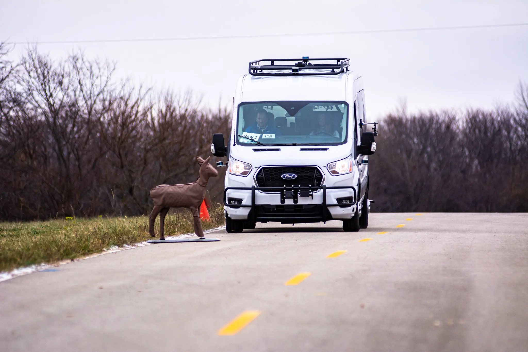
The simulation model will feature a 32km circuit of Oxfordshire roads, covering rural, urban, main roads and intersections and will be used to create and run different test scenarios.
OS’s role includes capturing 3D geometry and information about roadside assets and their characteristics to help develop data standards and requirements for the real-world deployment of connected and AVs (C/AVs).
Additionally, the company will draw on the experience of its Atlas and E-Cave initiatives to help UK government shape a national infrastructure to support C/AVs.
OmniCAV is part of a wider £12.1m UK government funding package to support the development and nationwide deployment of C/AVs.
Other partners involved in the project include Latent Logic, Aimsun, Arcadis Consulting, Arrival, EUI, Thatcham Research, Oxfordshire County Council, the UK Atomic Energy Authority, the University of Warwick and XPI Simulation.
Ordnance Survey to provide geospatial data for OmniCAV project, UK
Ordnance Survey (OS) will provide geospatial data to support the OmnviCAV project’s ambition of accelerating the safe deployment of autonomous vehicles (AVs) on the UK’s roads. The £3.9m initiative’s aim is to develop an artificial intelligence-based simulation model for testing autonomous cars safety.
The simulation model will feature a 32km circuit of Oxfordshire roads, covering rural, urban, main roads and intersections and will be used to create and run different test scenarios.
OS’s role includ
August 30, 2018
Read time: 2 mins
Ordnance Survey (OS) will provide geospatial data to support the OmnviCAV project’s ambition of accelerating the safe deployment of autonomous vehicles (AVs) on the UK’s roads. The £3.9m initiative’s aim is to develop an artificial intelligence-based simulation model for testing autonomous cars safety.


