Ohio DOT Selects Inrix and StreetLight Data for on-demand mobility intelligence

The Ohio Department of Transportation (ODOT) has added analytics and origin-destination to its existing Inrix traffic services to help monitor, measure and manage the state’s road network. As part of the agreement, StreetLight Data will enable ODOT to transform Inrix data into actionable intelligence. Ohio DOT will utilise analytic tools and traffic services from Inrix and StreetLight Data to improve system planning, traffic management and operations in Ohio.
September 26, 2017 Read time: 1 min

The 7609 Ohio Department of Transportation (ODOT) has added analytics and origin-destination to its existing 163 Inrix traffic services to help monitor, measure and manage the state’s road network. As part of the agreement, StreetLight Data will enable ODOT to transform Inrix data into actionable intelligence.

Ohio DOT will utilise analytic tools and traffic services from Inrix and StreetLight Data to improve system planning, traffic management and operations in Ohio.

These include Inrix Analytics, a suite of cloud-based analysis tools to help transportation professionals what is happening on the roads and Inrix Trips which provides data on drivers’ journeys. In addition, the newly-launched Inrix Dangerous Slowdowns provides data to prevent back-of-queue collisions in rapidly forming congestion, while Inrix Real Time Traffic Flow provides real time traffic information.

StreetLight InSight allows ODOT to design, run, visualise and download unlimited customised transportation analyses like origin-destination, select link and trip purpose.

For more information on companies in this article

Related Content

  • Developing an integrated WIM/ANPR enforcement system
    July 31, 2012
    The weigh in motion market remains especially buoyant and technological development continues to reflect this. Although there are major differences in operating philosophies, particularly between developed and developing countries, both the numbers of countries using Weigh In Motion (WIM) technology and the numbers of systems that they deploy are on the increase.
  • Siemens technology installed on UK connected vehicles project
    November 14, 2016
    Siemens’ Sapphire journey time measurement system for traffic monitoring using Bluetooth technology is being installed on three main corridors into the centre of Coventry as part of a new UK project to assess how connected vehicles interact on key corridors leading into the city centre from the national road network. Led by Coventry City Council, the intelligent variable message systems (iVMS) project will draw expertise from Coventry University’s Centre for Mobility and Transport in collaboration with
  • Geotab shows trio of software solutions
    September 21, 2022
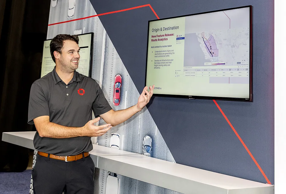
    First-time visitor to the World Congress Geotab is showing several software products that it has developed in recent months to help classify vehicle behaviour. Route Analytics (RA), Stop Analytics (SA) and Updated Vehicle Vocation Classifications (UVVC) are all now part of the company’s portfolio.
  • People to power reporting of weather-related road conditions
    November 28, 2013
    Citizen reporting offers the potential of gathering timely information about road conditions without the need to invest heavily in equipment or to dispatch inordinate numbers of staff to visit and report from various locations. What could be better than an army of motorists and other road users sending in reports of conditions they encounter on their journeys? Back in 2003, Wyoming DOT set up a system of enhanced citizen-assisted reporting as a way of gathering weather-related information on road conditi