Ohio DOT Selects Inrix and StreetLight Data for on-demand mobility intelligence

The Ohio Department of Transportation (ODOT) has added analytics and origin-destination to its existing Inrix traffic services to help monitor, measure and manage the state’s road network. As part of the agreement, StreetLight Data will enable ODOT to transform Inrix data into actionable intelligence. Ohio DOT will utilise analytic tools and traffic services from Inrix and StreetLight Data to improve system planning, traffic management and operations in Ohio.
September 26, 2017 Read time: 1 min

The 7609 Ohio Department of Transportation (ODOT) has added analytics and origin-destination to its existing 163 Inrix traffic services to help monitor, measure and manage the state’s road network. As part of the agreement, StreetLight Data will enable ODOT to transform Inrix data into actionable intelligence.

Ohio DOT will utilise analytic tools and traffic services from Inrix and StreetLight Data to improve system planning, traffic management and operations in Ohio.

These include Inrix Analytics, a suite of cloud-based analysis tools to help transportation professionals what is happening on the roads and Inrix Trips which provides data on drivers’ journeys. In addition, the newly-launched Inrix Dangerous Slowdowns provides data to prevent back-of-queue collisions in rapidly forming congestion, while Inrix Real Time Traffic Flow provides real time traffic information.

StreetLight InSight allows ODOT to design, run, visualise and download unlimited customised transportation analyses like origin-destination, select link and trip purpose.

For more information on companies in this article

Related Content

  • Intertraffic Awards 2022: shortlist announced!
    February 4, 2022
    Winners will be revealed at the opening ceremony of Intertraffic Amsterdam in March
  • Erskine Bridge goes Bluetooth
    May 12, 2014
    The Erskine Bridge vehicle safety barrier replacement team introduced what is said to be a UK first in temporary traffic management on major trunk roads projects with the use of Bluetooth technology to monitor journey times and keep drivers updated on potential delays. Working on behalf of Transport Scotland, with Leeds-based Sky High Technology, contractor Highway Barrier Solutions and the Scotland TranServ project team introduced the origin-destination vehicle movement system to establish how long it w
  • Ekin brings smart city pole to Florida 
    August 10, 2021
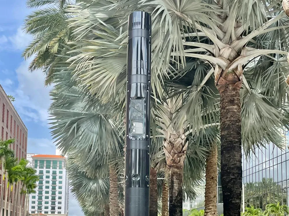
    Ekin Spotter designed to withstand the city's hurricane force winds 
  • I-80 Smart Corridor sets the ITS standard for California's Bay Area
    March 23, 2015
    Colin Sowman looks at California’s ‘smartest’ road which will open this spring to counter congestion and accidents on one of the Bay Area’s busiest interstates. Interstate 80 (I-80) is one of the busiest roads in the San Francisco Bay area with up to 270,000 vehicles using the corridor every day. The section between the Carquinez Bridge in Crockett and the Bay Bridge not only suffers congestion during the working week but also at weekends. Traditional remedies such as building additional lanes (there are al