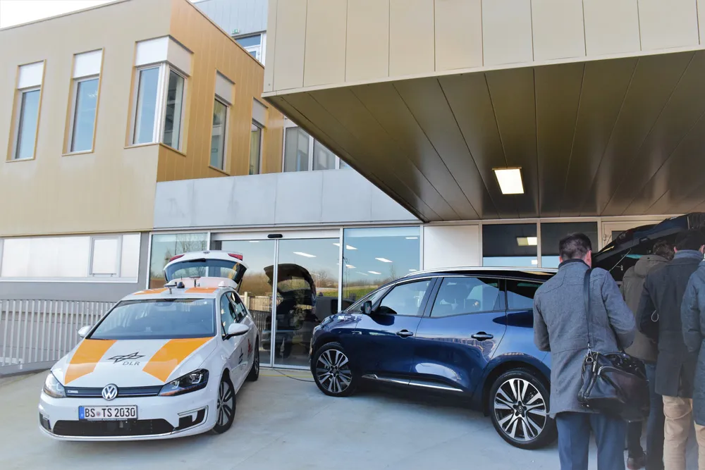
Traffic trials aimed at streamlining the rush-hour commute in the UK’s north-east have been given the green light. The project in Newcastle involves new satellite navigation technology which helps drivers adjust their speed so they can pass through a series of lights on green. The European project is being led by Newcastle University and Newcastle City Council, and aims to reduce city centre congestion and pollution associated with stop-start driving. Phil Blythe, Professor of Intelligent Transport Systems
Traffic trials aimed at streamlining the rush-hour commute in the UK’s north-east have been given the green light. The project in Newcastle involves new satellite navigation technology which helps drivers adjust their speed so they can pass through a series of lights on green.
The European project is being led by5986 Newcastle University and Newcastle City Council, and aims to reduce city centre congestion and pollution associated with stop-start driving.
Phil Blythe, Professor of Intelligent Transport Systems at Newcastle University, said, “Traffic management systems are already in place across the city to improve traffic flow, but what’s unique about this trial is that we will be giving information directly to the driver.
“For example, the system might advise a driver that if they travel at 24 miles an hour, they will hit the next four sets of traffic lights on green. In more congested areas or particularly busy times of the day, then key roads might be given priority in order to keep the traffic flowing.”
The new project will link an in-vehicle communication system directly with the city’s Urban Traffic Management Control (1682 UTMC) centre, helping motorists to drive more efficiently to keep traffic moving.
Information will be sent directly to drivers to take them away from areas that are becoming congested, speeding up people’s journeys through the city and easing overall congestion.
Drivers will be warned of approaching danger such as an accident or reckless driver. Among the systems also being implemented by the team are a Forward Collision Warning, which notifies drivers of obstacles on the road such as an accident, broken-down vehicle or even just stationary traffic and A Red Light Violation Warning, which tells drivers when someone on the road ahead has jumped a red light.
UK project lead Dr Yvonne Huebner, from Newcastle University, said: “Newcastle is already leading the way in intelligent transport systems and this work will allow us to build on the infrastructure already in place to provide personalised information to drivers.
“Every year, there are more cars on the road and although there are initiatives in place to keep our cities moving congestion is still a major problem. By creating a joined up information system for all road users, we can give other users such as the emergency services and bus drivers information which can help them get to their destination quickly and safely.”
Nigel Todd, deputy cabinet member for environment and transport at Newcastle City Council, said: “As partners, we will actively support the project as we share its vision towards developing sustainable transport solutions, safety and environmental care.”
Professor Blythe said: “The in-vehicle unit will communicate with the smart traffic lights controlled by the city’s UTMC. This will be the first trial of its kind in the UK, putting the city at the forefront of new and innovative thinking as to how emerging technologies can help us better manage our increasingly congested roads in the future.”
The European project is being led by
Phil Blythe, Professor of Intelligent Transport Systems at Newcastle University, said, “Traffic management systems are already in place across the city to improve traffic flow, but what’s unique about this trial is that we will be giving information directly to the driver.
“For example, the system might advise a driver that if they travel at 24 miles an hour, they will hit the next four sets of traffic lights on green. In more congested areas or particularly busy times of the day, then key roads might be given priority in order to keep the traffic flowing.”
The new project will link an in-vehicle communication system directly with the city’s Urban Traffic Management Control (
Information will be sent directly to drivers to take them away from areas that are becoming congested, speeding up people’s journeys through the city and easing overall congestion.
Drivers will be warned of approaching danger such as an accident or reckless driver. Among the systems also being implemented by the team are a Forward Collision Warning, which notifies drivers of obstacles on the road such as an accident, broken-down vehicle or even just stationary traffic and A Red Light Violation Warning, which tells drivers when someone on the road ahead has jumped a red light.
UK project lead Dr Yvonne Huebner, from Newcastle University, said: “Newcastle is already leading the way in intelligent transport systems and this work will allow us to build on the infrastructure already in place to provide personalised information to drivers.
“Every year, there are more cars on the road and although there are initiatives in place to keep our cities moving congestion is still a major problem. By creating a joined up information system for all road users, we can give other users such as the emergency services and bus drivers information which can help them get to their destination quickly and safely.”
Nigel Todd, deputy cabinet member for environment and transport at Newcastle City Council, said: “As partners, we will actively support the project as we share its vision towards developing sustainable transport solutions, safety and environmental care.”
Professor Blythe said: “The in-vehicle unit will communicate with the smart traffic lights controlled by the city’s UTMC. This will be the first trial of its kind in the UK, putting the city at the forefront of new and innovative thinking as to how emerging technologies can help us better manage our increasingly congested roads in the future.”