New York Department of Transportation (DOT), in partnership with the New York Police Department (NYPD), has launched Borough Pedestrian Safety Action Plans for each of the five boroughs in the city. The plans are one of 63 Vision Zero initiatives aimed at eliminating all deaths from traffic crashes, regardless of whether on foot, bicycle, or inside a motor vehicle. Despite aggressive pedestrian-oriented street re-engineering between 2007 and 2013, citywide pedestrian fatalities have not declined. In fact, t
February 27, 2015
Read time: 3 mins
New York Department of Transportation (DOT), in partnership with the New York Police Department (NYPD), has launched Borough Pedestrian Safety Action Plans for each of the five boroughs in the city.
The plans are one of 63 Vision Zero initiatives aimed at eliminating all deaths from traffic crashes, regardless of whether on foot, bicycle, or inside a motor vehicle. Despite aggressive pedestrian-oriented street re-engineering between 2007 and 2013, citywide pedestrian fatalities have not declined. In fact, they increased in 2012 and 2013 while fatalities to other street users fell. Comparing the periods of 2005-2007 to 2011-2013, pedestrian fatalities actually rose by two per cent while fatalities to all other users fell by 24 per cent. At the same time, the pedestrian share of overall fatalities rose from 51 per cent to 58 per cent, while across the US, pedestrians make up just 14 per cent of all traffic fatalities. In Manhattan alone, pedestrians are 73 per cent of all fatalities.
Each plan analyses the unique conditions of one New York City borough and recommends actions to address the borough’s specific challenges to pedestrian safety. These plans pinpoint the conditions and characteristics of pedestrian fatalities and severe injuries; they also identify corridors, intersections, and areas that disproportionately account for pedestrian fatalities and severe injuries, prioritising them for safety interventions.
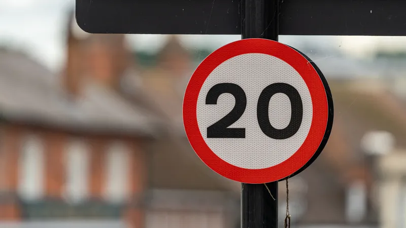
The proposals include: Implementing at least 50 Vision Zero safety engineering improvements annually at priority corridors, intersections, and areas citywide, informed by community input at project locations; Significantly expanding exclusive pedestrian crossing time on all priority corridors by the end of 2017; adding exclusive pedestrian crossing time to all feasible priority intersections by the end of 2017; Modifying signal timing to reduce off-peak speeding on all feasible priority corridors by the end of 2017; installing expanded speed limit signage on all priority corridors in 2015; Coordinating with Metropolitan Transport Agency to ensure bus operations contribute to a safe pedestrian environment; Expanding a bicycle network that improves safety for all road users; implementing the majority of speed camera locations at priority corridors, intersections and areas.
Each Borough Plan was shaped by the community input from nine Vision Zero Pedestrian Safety Workshops held across the five boroughs. Using borough crash data, rather than citywide data, heat maps were created for each borough to highlight locations with the highest density of pedestrian fatalities and severe injuries. These maps were then used to create borough priority maps. DOT and NYPD are tasked with addressing road safety for all residents in all boroughs, so creating five separate action plans was the most practical way to develop a robust set of focused, effective actions for each borough.


