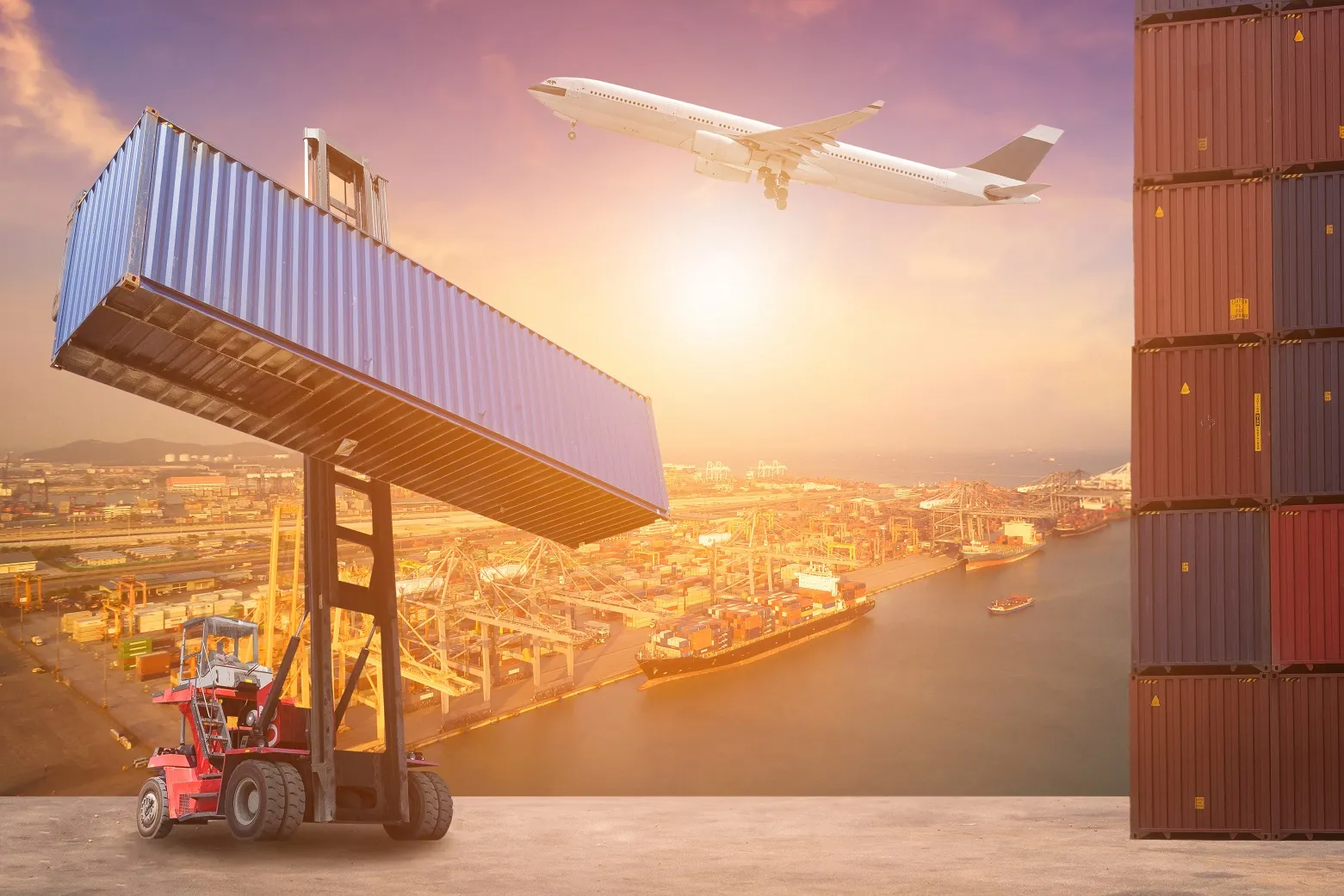
The Weather Company, an IBM business, has introduced its new Operations Dashboard for Ground Transportation, a solution which is designed to help optimise workforce productivity and route selection for freight and logistics companies. This comprehensive, customisable dashboard includes key information on weather and road condition information and also integrates real-time traffic flow and incident data, and flags safety hazards. The Operations Dashboard for Ground Transportation is designed to provide input
The Weather Company, an 62 IBM business, has introduced its new Operations Dashboard for Ground Transportation, a solution which is designed to help optimise workforce productivity and route selection for freight and logistics companies. This comprehensive, customisable dashboard includes key information on weather and road condition information and also integrates real-time traffic flow and incident data, and flags safety hazards.
The Operations Dashboard for Ground Transportation is designed to provide input for dispatchers, distribution centre executives and drivers across the trucking and fleet organisations.
Additionally, dispatchers can set up customised alerts of approaching hazards that are delivered via API to an in-cab or mobile device. This alerting capability can track a driver’s trajectory and send alerts based on approaching weather. With weather updates as frequently every five minutes and down to a 500-metre resolution, drivers will be equipped to make more informed decisions from the road.