Nevada pilot program aims to reduce road crashes, traffic congestion

The Regional Transportation Commission of Southern Nevada (RTC) and Waycare, a predictive analytics platform for smart cities, are to implement a pilot program that is intended to help prevent traffic crashes and congestion.
July 13, 2017 Read time: 2 mins

The Regional Transportation Commission of Southern Nevada (RTC) and Waycare, a predictive analytics platform for smart cities, are to implement a pilot program that is intended to help prevent traffic crashes and congestion.

Waycare’s proprietary technology predicts traffic crashes and related congestion before they occur, helping to prevent them altogether and enabling first responders to better allocate their resources. The Waycare platform integrates historical data with real-time data, such as traffic light timing, major events, weather conditions, vehicle location, speeds, counts and occupancies, helping to identify, for the first time, dangerous driving conditions on the road, well before an incident occurs.

The RTC and Waycare are collaborating with Nevada Highway Patrol and Nevada Department of Transportation (NDOT) to use Waycare’s predictive insights to strategically deploy highway patrol and roadside service units.

The RTC’s traffic management centre will use the platform to optimise traffic flow through the two designated pilot corridors, US 95 West of I-15 and I-15 South of Charleston Boulevard.

According to Rudy Malfabon, NDOT director, the information will enable NDOT to use its resources in a more efficient and strategic manner, including the Freeway Service Patrol which aims to improve highway safety by reducing the time required to remove incidents that can disrupt traffic flows and cause traffic congestion.

Related Content

  • Nevada begins installation of enhanced driver information systems
    April 13, 2017
    The Nevada Department of Transportation has launched a project to install enhanced roadway signage, ramp meters, wrong-way driver detection systems and more to help improve traffic safety and mobility on US 395 in the North Valleys. The project commences in early April and will continue through to 2018. Ramp meters, or traffic signals, will be placed at the top of certain freeway on-ramps, to help reduce congestion and enhance safety by more evenly metering the flow of traffic merging onto freeways.
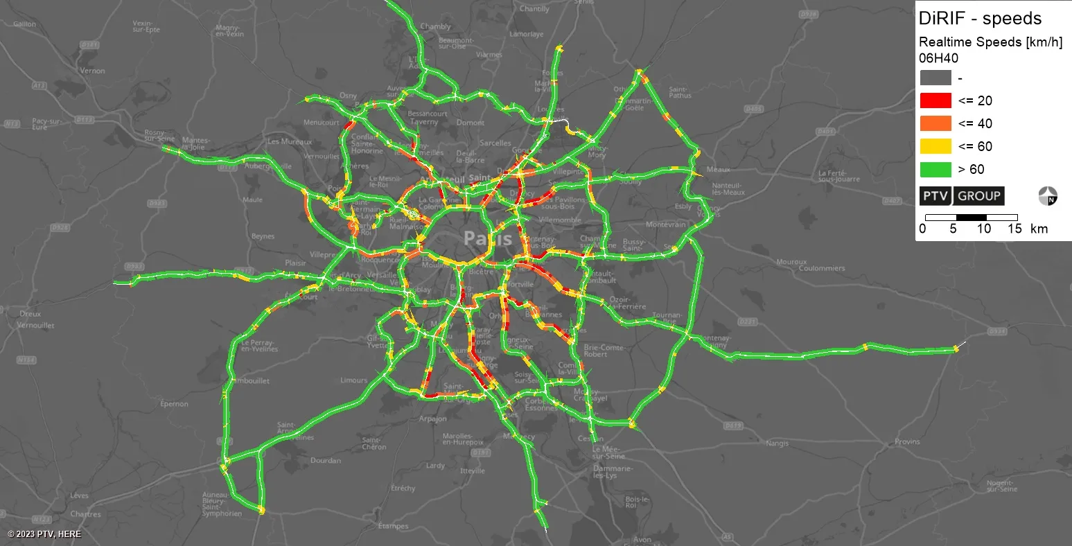
  • PTV provides precise data on Paris traffic
    July 31, 2023
    GPS location of vehicles travelling around French capital will be used to ease congestion
  • Chicago pushes traffic safety plan for ‘poorer’ areas
    October 2, 2019
    The city of Chicago has unveiled a plan to help improve traffic safety in its poorer areas, focusing on the south and west sides. Mayor Lori Lightfoot says studies show that residents living in communities experiencing “economic hardship” are three times more likely to die as a result of a traffic crash. “We must change how we design and use streets, as any traffic-related death is unacceptable when we, as a city, have the tools and strategies to prevent the conditions that lead to these tragedies,” Ligh
  • IntelliDrive, connectivity, safety, mobility and the environment?
    January 30, 2012
    Shelley Row, Director of the ITS Joint Program Office, US Department of Transportation, details the new five-year ITS Strategic Research Plan. Imagine a world where vehicles of all types can talk to each other in order to reduce or eliminate crashes, where vehicles can talk to traffic signals to eliminate unnecessary stops, where travellers can get accurate travel time information about all modes and route options, and where transportation managers have data which allows them to accurately assess multimodal