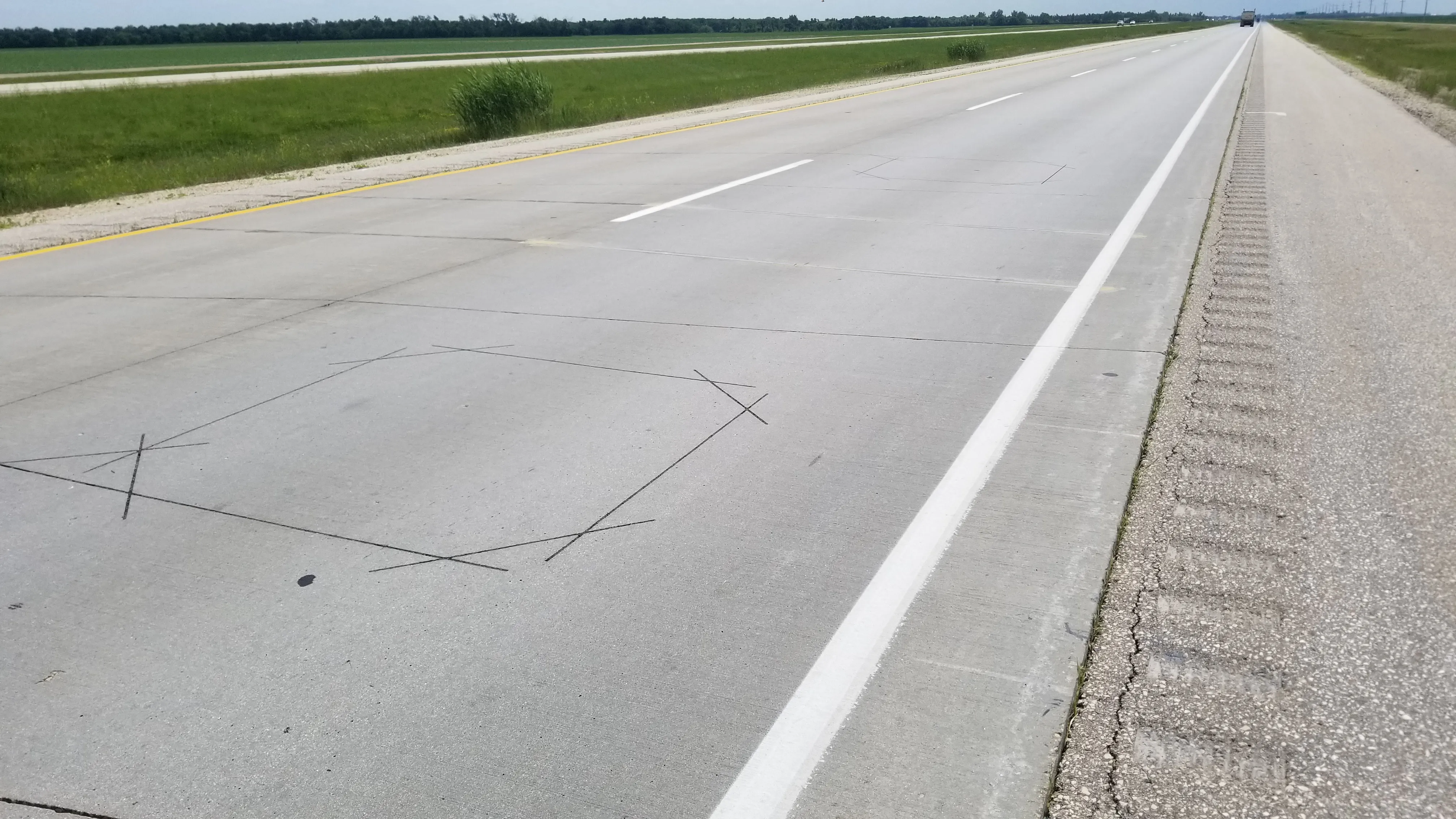
The Regional Transportation Commission of Southern Nevada (RTC) and Waycare, a predictive analytics platform for smart cities, are to implement a pilot program that is intended to help prevent traffic crashes and congestion.
Waycare’s proprietary technology predicts traffic crashes and related congestion before they occur, helping to prevent them altogether and enabling first responders to better allocate their resources. The Waycare platform integrates historical data with real-time data, such as traffic light timing, major events, weather conditions, vehicle location, speeds, counts and occupancies, helping to identify, for the first time, dangerous driving conditions on the road, well before an incident occurs.
The RTC and Waycare are collaborating with Nevada Highway Patrol and Nevada Department of Transportation (NDOT) to use Waycare’s predictive insights to strategically deploy highway patrol and roadside service units.
The RTC’s traffic management centre will use the platform to optimise traffic flow through the two designated pilot corridors, US 95 West of I-15 and I-15 South of Charleston Boulevard.
According to Rudy Malfabon, NDOT director, the information will enable NDOT to use its resources in a more efficient and strategic manner, including the Freeway Service Patrol which aims to improve highway safety by reducing the time required to remove incidents that can disrupt traffic flows and cause traffic congestion.
Nevada pilot program aims to reduce road crashes, traffic congestion
The Regional Transportation Commission of Southern Nevada (RTC) and Waycare, a predictive analytics platform for smart cities, are to implement a pilot program that is intended to help prevent traffic crashes and congestion.
July 13, 2017
Read time: 2 mins


