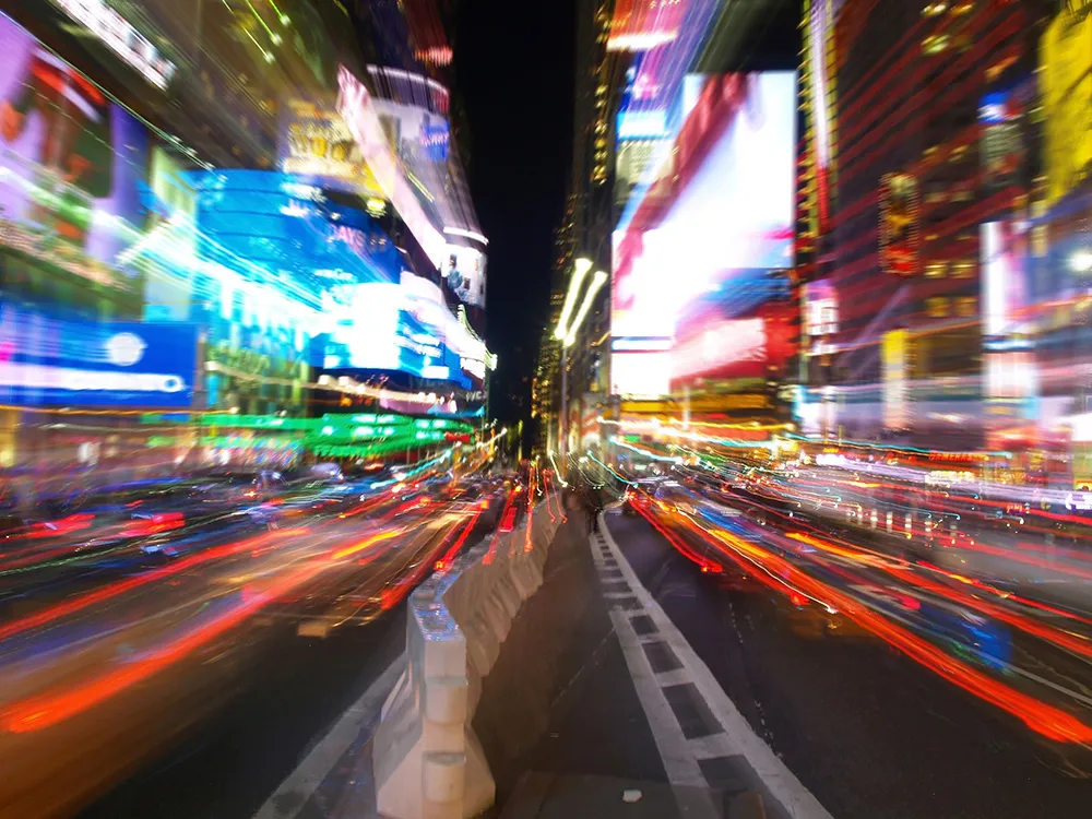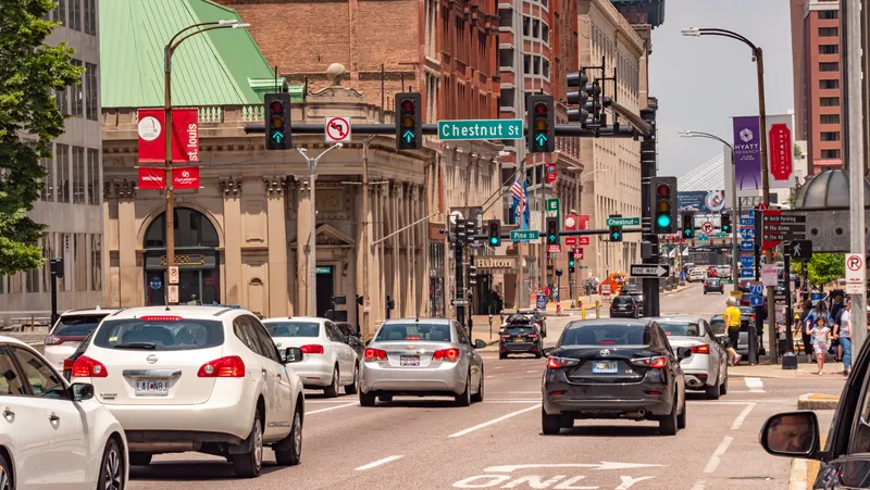
The University of Missouri will use a $1.5 million grant to develop a real-time traffic management system to help public agencies share transportation data.
The University's engineers will develop the system over the next year for use in the greater St. Louis area.
Yaw Adu-Gyamfi, an assistant professor in the College of Engineering, says the system will help public officials determine optimal traffic flow in a particular geographic area and help increase road safety by integrating data from multiple transportation agencies, including emergency services.
According to Adu-Gyamfi, the system will provide quicker agency responses to vehicle crashes and traffic management to route traffic around those incidents.
“After a crash, police and emergency services need to quickly respond to the location, but also emergency management and traffic management centres need to figure out how to route traffic around the affected area,” he continues. “We want to be able to detect and respond to those incidents quickly, because the longer an incident goes undetected, the more traffic can back up and increase the likelihood for a second crash. So, incident response times can improve with this system.”
Adu-Gyamfi explains it can be difficult for one agency to view what is shown on another's system because they may own and operate different existing traffic management systems in a similar location. Many agencies do not have the “resources in-house” to analyse the data they already own and collect, he adds.
He claims the system will combine these needs into a format that is accessible because the data will be stored on a cloud-based system or the internet.
“With this system, these agencies will be able to stream data sets in real-time and look at what’s going on over a very large geographical area,” he concludes.
The grant was provided by a coalition of the Missouri Department of Transportation, St. Charles County Government and the East-West Gateway Council of Governments.
Researchers plan to create similar systems other metropolitan areas in Missouri – including Columbia, Kansas City and Springfield.