Missouri Uni to improve traffic safety

System will allow quicker response to crashes, says assistant professor. 
By Ben Spencer August 31, 2020 Read time: 2 mins
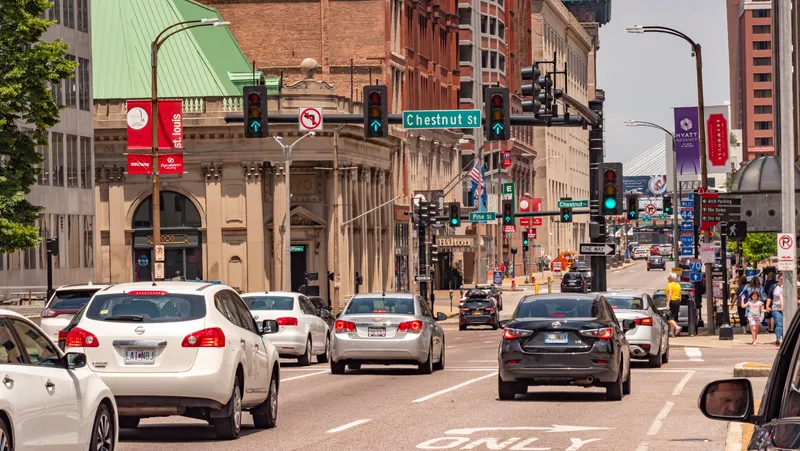
Missouri Uni to create traffic management system (© Erik Lattwein | Dreamstime.com)

The University of Missouri will use a $1.5 million grant to develop a real-time traffic management system to help public agencies share transportation data. 

The University's engineers will develop the system over the next year for use in the greater St. Louis area. 

Yaw Adu-Gyamfi, an assistant professor in the College of Engineering, says the system will help public officials determine optimal traffic flow in a particular geographic area and help increase road safety by integrating data from multiple transportation agencies, including emergency services. 

According to Adu-Gyamfi, the system will provide quicker agency responses to vehicle crashes and traffic management to route traffic around those incidents.

“After a crash, police and emergency services need to quickly respond to the location, but also emergency management and traffic management centres need to figure out how to route traffic around the affected area,” he continues. “We want to be able to detect and respond to those incidents quickly, because the longer an incident goes undetected, the more traffic can back up and increase the likelihood for a second crash. So, incident response times can improve with this system.”

Adu-Gyamfi explains it can be difficult for one agency to view what is shown on another's system because they may own and operate different existing traffic management systems in a similar location. Many agencies do not have the “resources in-house” to analyse the data they already own and collect, he adds.

He claims the system will combine these needs into a format that is accessible because the data will be stored on a cloud-based system or the internet. 

“With this system, these agencies will be able to stream data sets in real-time and look at what’s going on over a very large geographical area,” he concludes. 

The grant was provided by a coalition of the Missouri Department of Transportation, St. Charles County Government and the East-West Gateway Council of Governments. 

Researchers plan to create similar systems other metropolitan areas in Missouri – including Columbia, Kansas City and Springfield. 
 

For more information on companies in this article

Related Content

  • Stop thinking and act on cooperative infrastructures
    February 2, 2012
    OmniAir's Tim McGuckin looks at why metropolitan transportation networks might be the key to securing the long-term funding of cooperative infrastructure
  • Traffic lights: There’s a better way ..
    July 9, 2014
    .. say researchers at Massachusetts Institute of Technology (MIT) who have developed a means of computing optimal timings for city stoplights that they say can significantly reduce drivers’ average travel times. Existing software for timing traffic signals has several limitations, says Carolina Osorio, an assistant professor of civil and environmental engineering at MIT and lead author of a forthcoming paper in the journal Transportation Science that describes the new system, based on a study of traffic
  • GIS mapping smoothes ITS operations and increases efficiencies
    January 30, 2012
    Alexander Gerschenkron, the famous economic historian, once posited a benefit for those countries which come late to economic development: that they could introduce the latest technology and thus jump over some of the standard development paths followed by their predecessors . It is entirely possible to make the same observation of late-comers to ITS: that they can gain from the pains of those who went before and more easily implement best practice in ITS. As a consequence, it is entirely likely the Abu Dha
  • USDOT expands real-time travel information with US$2.6 million in grants
    February 25, 2015
    The US Department of Transportation's Federal Highway Administration (FHWA) has announced $2.571 million in grants to expand the use of real-time travel information in 13 highly congested urban areas across ten states. Known as integrated corridor management, or ICM, the grants will help selected cities or regions combine numerous information technologies and real-time travel information from highway, rail and transit operations. Such tools can help engineers make better decisions about congestion managemen