MassDOT deploys adaptive traffic control

Massachusetts Department of Transportation (MassDOT) has selected Trafficware’s SynchroGreen for the State’s first adaptive signal system. With traffic engineering involvement from consulting firm VHB, the new system was activated earlier this year. Video cameras located at the intersection provide real-time traffic volumes information to on-street traffic controllers. The system then uses a centralised command and control server to process this volume/occupancy data to analyse and dynamically adjust p
July 1, 2014 Read time: 2 mins
7213 Massachusetts Department of Transportation (MassDOT) has selected 5642 Trafficware’s SynchroGreen for the State’s first adaptive signal system.  With traffic engineering involvement from consulting firm VHB, the new system was activated earlier this year.

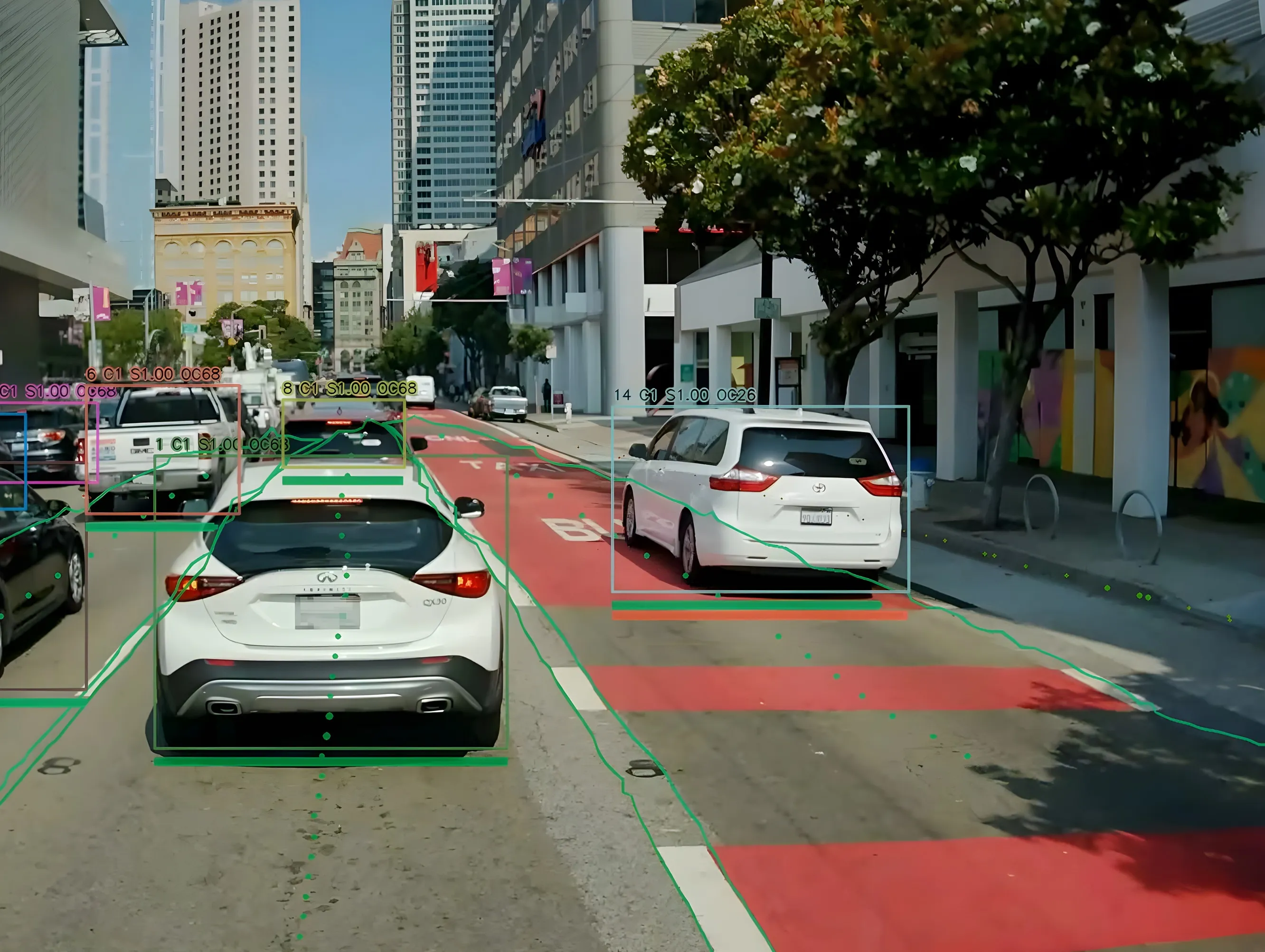
Video cameras located at the intersection provide real-time traffic volumes information to on-street traffic controllers.  The system then uses a centralised command and control server to process this volume/occupancy data to analyse and dynamically adjust phase timings, offsets and cycle lengths continuously in real time.  This results in signal timings that adjust every cycle to the fluctuating demands of traffic volumes to optimise the flow of traffic.

SynchroGreen also provides users with the option of default settings or providing more detailed inputs to refine the system operation, offering a level of flexibility that allows system to be deployed in both smaller cities where there are little local resources to manage the system, or in larger cities, where there may be specific traffic dynamics that require a more tailored approach.

The system was deployed on a common bypass route where unpredictable traffic demand occurred, where backups caused substantial queuing onto the freeway. Commented Alan Deditch, president of Highway Tech, provider of on-street system support:  “SynchroGreen was the perfect solution to respond to the influx of traffic and we have already seen a significant improvement,” added Deditch.

For more information on companies in this article

Related Content

  • Trafik Stockholm uses data gathered from Bluetooth and Wi-Fi to alleviate congestion
    November 20, 2017
    Trafik Stockholm (TS) has chosen Blip Track technology from Denmark-based Blip Systems to alleviate congestion on the city's road by providing live traffic information via real-time and historical travel flow data from road users’ Bluetooth and Wi-Fi devices. Travel times are continuously updated in line with the behaviour of road users so that by considering their route and the time they depart, they can help to reduce bottlenecks and keep traffic moving. The technology provides a birds-eye view of the
  • After two decades of research, ITS is getting into its stride
    June 4, 2015
    Colin Sowman gets the global view on how ITS has shaped the way we travel today and what will shape the way we travel tomorrow. Over the past two decades the scope and spread of intelligent transport systems has grown and diversified to encompass all modes of travel while at the same time integrating and consolidating. Two decades ago the idea of detecting cyclists or pedestrians may have been considered impossible and why would you want to do that anyway? Today cyclists can account for a significant propor
  • Hayden AI & Snapper Services keep their eyes on the road
    August 29, 2024
    Snapper Services CEO Miki Szikszai and Chris Carson, CEO of Hayden AI, tell Adam Hill about synergy and partnership – and how to make use of data once you’ve gathered it
  • USDOT expands real-time travel information with US$2.6 million in grants
    February 25, 2015
    The US Department of Transportation's Federal Highway Administration (FHWA) has announced $2.571 million in grants to expand the use of real-time travel information in 13 highly congested urban areas across ten states. Known as integrated corridor management, or ICM, the grants will help selected cities or regions combine numerous information technologies and real-time travel information from highway, rail and transit operations. Such tools can help engineers make better decisions about congestion managemen