Lime expands tie-up with Google Maps to 80 new cities

Lime is building on a partnership with Google Maps which it says will allow riders to locate bikes and scooters in 80 cities worldwide. Last December, Lime launched an initial pilot with Google Maps in 13 cities such as Brisbane, Australia, and Seattle, Washington. Lime says the estimated costs and arrival times will be visible next to each vehicle to help users better gauge their transportation options. Riders can view nearby Lime bikes and scooters by tapping the transit icon in Google Maps. Onc
March 11, 2019 Read time: 1 min
Lime is building on a partnership with Google Maps which it says will allow riders to locate bikes and scooters in 80 cities worldwide.


Last December, Lime launched an initial pilot with Google Maps in 13 cities such as Brisbane, Australia, and Seattle, Washington.

Lime says the estimated costs and arrival times will be visible next to each vehicle to help users better gauge their transportation options.

Riders can view nearby Lime bikes and scooters by tapping the transit icon in Google Maps. Once ready to unlock the scooter, a tap on the Lime card will direct users to either the Lime app or appropriate app store.  

The service is available in US cities such as Washington, DC and Orlando, Florida as well as in European locations such as Stockholm, Sweden, and Warsaw, Poland.

Related Content

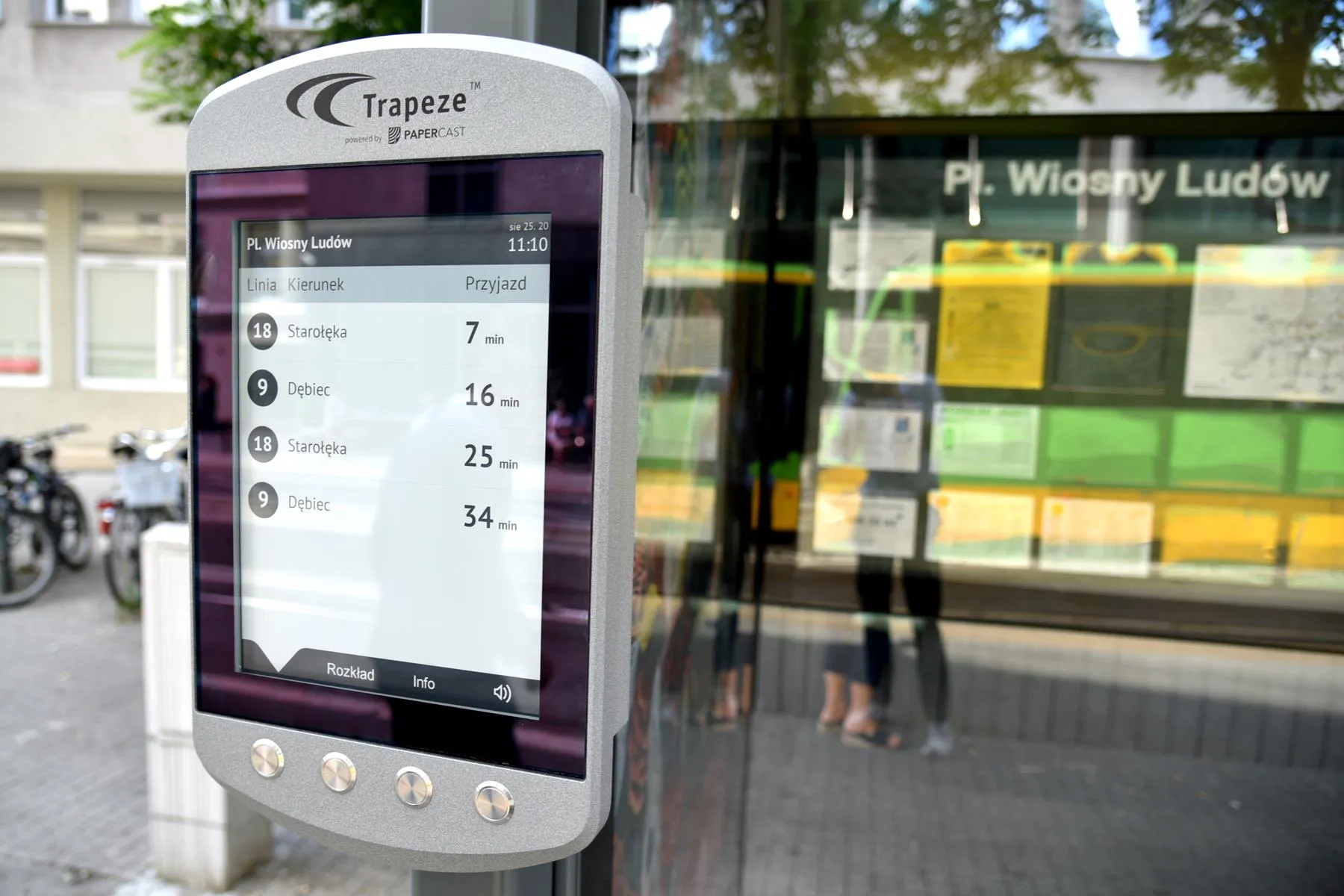
  • Papercast upgrades Poznan bus info
    October 22, 2020
    E-paper displays save energy costs, say authorities in Polish town
  • Connexionz awarded contract to connect multiple transit agencies across three States
    November 22, 2017
    Provider of smart transit innovations Connexionz has been awarded a contract to deliver multi-agency regional passenger information system to connect several transport networks across three US States. It will initially manage and support seven partner agency fleets, with potential to scale and link up to 18 separate transport operators across Washington, Oregon and Idaho. Called iTransit NM it is designed with the intention of enabling passengers convenient access to real-time information on all rural and
  • Chicago pop-up lanes keep buses moving 
    September 29, 2020
    Two 24-hour dedicated routes support essential workers, says CDoT
  • Vehicle identification systems aid dynamic bus operations
    April 24, 2013
    David Crawford looks at a global trend towards more efficiency in less space As buses gain increased profile in the public transport mix needed for modal shift, attention is turning towards improving terminal layouts for more efficient handling of services and passengers. Locations, too, tend to be in central areas of cities, where sites are restricted and land values high. Enter the dynamic bus station, which uses modern vehicle identification systems to optimise space use and streamline service operation