Lime expands tie-up with Google Maps to 80 new cities

Lime is building on a partnership with Google Maps which it says will allow riders to locate bikes and scooters in 80 cities worldwide. Last December, Lime launched an initial pilot with Google Maps in 13 cities such as Brisbane, Australia, and Seattle, Washington. Lime says the estimated costs and arrival times will be visible next to each vehicle to help users better gauge their transportation options. Riders can view nearby Lime bikes and scooters by tapping the transit icon in Google Maps. Onc
March 11, 2019 Read time: 1 min
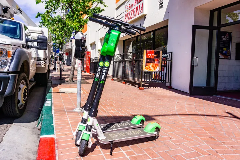
Lime is building on a partnership with Google Maps which it says will allow riders to locate bikes and scooters in 80 cities worldwide.


Last December, Lime launched an initial pilot with Google Maps in 13 cities such as Brisbane, Australia, and Seattle, Washington.

Lime says the estimated costs and arrival times will be visible next to each vehicle to help users better gauge their transportation options.

Riders can view nearby Lime bikes and scooters by tapping the transit icon in Google Maps. Once ready to unlock the scooter, a tap on the Lime card will direct users to either the Lime app or appropriate app store.  

The service is available in US cities such as Washington, DC and Orlando, Florida as well as in European locations such as Stockholm, Sweden, and Warsaw, Poland.

Related Content

  • Sidewalk hoggers beware! Lime can see you
    February 28, 2020
    Micromobility firm Lime has launched technology which it claims can tell ‘with 95% accuracy’ when an electric scooter rider is using the pavement. 
  • EdgeVis removes bandwidth barriers to mobile streamed video
    October 26, 2017
    A new generation of video compression can lower transmission costs of data and make streaming from mobile and body-worn cameras a reality, as Colin Sowman discovers. Bandwidth limitations have long been the bottleneck restricting the expanded use of video streaming for ITS, monitoring and surveillance purposes. Recent years have seen this countered to some degree by the introduction of ‘edge processing’ whereby ANPR, incident detection and other image processing is moved into (or close to) the camera, so
  • Vietnam uses big data to transform city systems
    August 16, 2013
    With one of the highest population growths in Vietnam and the subsequent strain on resources, Da Nang, the country’s fourth largest city, has turned to IBM technology to increase the manageability and efficiency of the city’s systems. Using IBM’s intelligent operations centre, the Da Nang government will address two of the most significant issues impacting life in the city, transportation and water. The solution provides a summary of events and incidents through maps, dashboards and alerts, allowing city pe
  • UK city pilots I2V technology
    April 27, 2015
    New technology which communicates between traffic signals and motorists to help the way they drive is being rolled out across Newcastle as part of a joint cooperative project with Siemens. In the first pilot of its kind in the UK, the system links an in-vehicle communication system directly with the city’s urban traffic management centre (UTMC), the infrastructure will ‘communicate’ directly with motorists, giving certain vehicles priority at junctions. Initially, the system has been fitted to non-emerge