Lime expands tie-up with Google Maps to 80 new cities

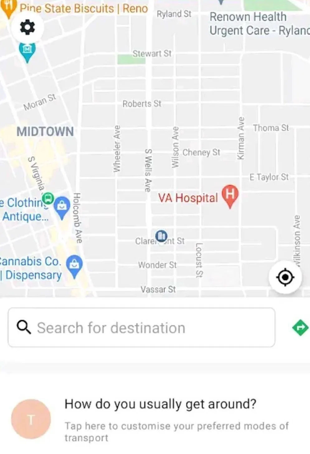
Lime is building on a partnership with Google Maps which it says will allow riders to locate bikes and scooters in 80 cities worldwide. Last December, Lime launched an initial pilot with Google Maps in 13 cities such as Brisbane, Australia, and Seattle, Washington. Lime says the estimated costs and arrival times will be visible next to each vehicle to help users better gauge their transportation options. Riders can view nearby Lime bikes and scooters by tapping the transit icon in Google Maps. Onc
March 11, 2019 Read time: 1 min
Lime is building on a partnership with Google Maps which it says will allow riders to locate bikes and scooters in 80 cities worldwide.


Last December, Lime launched an initial pilot with Google Maps in 13 cities such as Brisbane, Australia, and Seattle, Washington.

Lime says the estimated costs and arrival times will be visible next to each vehicle to help users better gauge their transportation options.

Riders can view nearby Lime bikes and scooters by tapping the transit icon in Google Maps. Once ready to unlock the scooter, a tap on the Lime card will direct users to either the Lime app or appropriate app store.  

The service is available in US cities such as Washington, DC and Orlando, Florida as well as in European locations such as Stockholm, Sweden, and Warsaw, Poland.

Related Content

  • Automatic signal control to prevent emergency vehicle collisions?
    March 14, 2012
    Field trials under way in Arizona promise eradication of accidents between emergency vehicles at intersections – as part of a national focus on ‘intelligent signal’ infrastructure. Collisions between police cars, ambulances and fire crews as they reach intersections at the same time, with equal priority given by all signals set on red, are as serious as they sound absurd. For emergency teams and those in need of their help, the consequences are dire. The solution could come from application of connected veh
  • Road safety systems on show at ITS World Congress
    January 30, 2012
    A vast array of new products and systems for aiding road safety were displayed at the ITS World Congress in October. David Crawford assesses a selection of safety initiatives exhibited in Orlando. Vital roles for ITS applications in road traffic safety emerge clearly from a new report from the US Transportation Safety Advancement Group. The report has been carried out for the Next Generation 911 What's Next Forum, which is preparing the way for future development of the US national 911 emergency single call
  • Birmingham mobility action plan unveiled
    November 7, 2013
    Birmingham City Council has unveiled its Birmingham Mobility Action Plan (BMAP), a twenty-five year vision for improving transport in the congested UK city, which planners estimate will have an extra 80,000 cars on its road by 2031, bringing the network to a grinding halt.
  • Nevada app gives transit access
    April 26, 2022
    N4 and Feonix - Mobility Rising partner to provide 'Uber-style' app for accessible transport