Following an international design competition, architecture and integrated design company Foster + Partners Team has been appointed to develop the architectural vision for Jeddah’s city-wide public transport plan.
Taking a long-term, sustainable approach, which anticipates growth centuries from now, the vision for Jeddah’s transport network includes the design of metro, ferry, bus, cycle, public spaces and nodes of development. The comprehensive plan extends from the design of the stations to the trains
Following an international design competition, architecture and integrated design company 8059 Foster + Partners Team has been appointed to develop the architectural vision for Jeddah’s city-wide public transport plan.
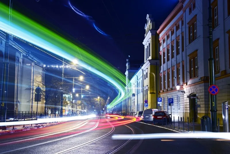
Taking a long-term, sustainable approach, which anticipates growth centuries from now, the vision for Jeddah’s transport network includes the design of metro, ferry, bus, cycle, public spaces and nodes of development. The comprehensive plan extends from the design of the stations to the trains and branding. In addition, the development of the metro system will create a new urban amenity for the city of Jeddah at key locations below the elevated track.
Designed in response to the local climate, the master plan is city-wide and draws on the high-density, compact urban model of the ancient quarter of Al Balad, with its mixture of uses and comfortable, walkable shaded streets. Currently only 12 per cent of the population live within a 10 minute walk of Jeddah’s transport nodes – the project aims to achieve 50 per cent, through a process of densification and strategic planning. Each station node will create a new neighbourhood, with a unique character, and together these will create a diverse and vibrant city.