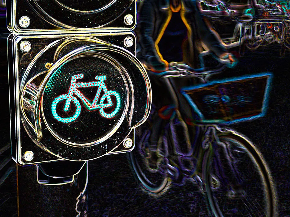
The Smart Transport Applications Designed for large events with Impacts on Urban Mobility (Stadium) project aims to improve the performance of transport services and systems made available for large events hosted by big cities. The newly developed Stadium ITS online guide aids users to identify the most suitable and sustainable technologies. The guide includes an interactive intelligent transportation system (ITS) decision support tool, featuring more than thirty ITS applications, allowing cities to choose
The Smart Transport Applications Designed for large events with Impacts on Urban Mobility (Stadium) project aims to improve the performance of transport services and systems made available for large events hosted by big cities.
The newly developed Stadium ITS online guide aids users to identify the most suitable and sustainable technologies. The guide includes an interactive intelligent transportation system (ITS) decision support tool, featuring more than thirty ITS applications, allowing cities to choose the most appropriate ITS tools to respond to transport challenges.
The guide is based on experience gained at the South Africa World Cup and India Commonwealth Games in 2010 and the London Olympics in 2012. At these three events the EU FP7 co-funded Stadium project demonstrated how ITS applications can help to manage the transport challenges arising from large events.
The city of Curitiba is currently making practical use of the guide while preparing for the 2014 FIFA world cup in Brazil. The city identified ITS applications to improve public transport management, and is, among others, installing passenger counting for bus rapid transit lines.