
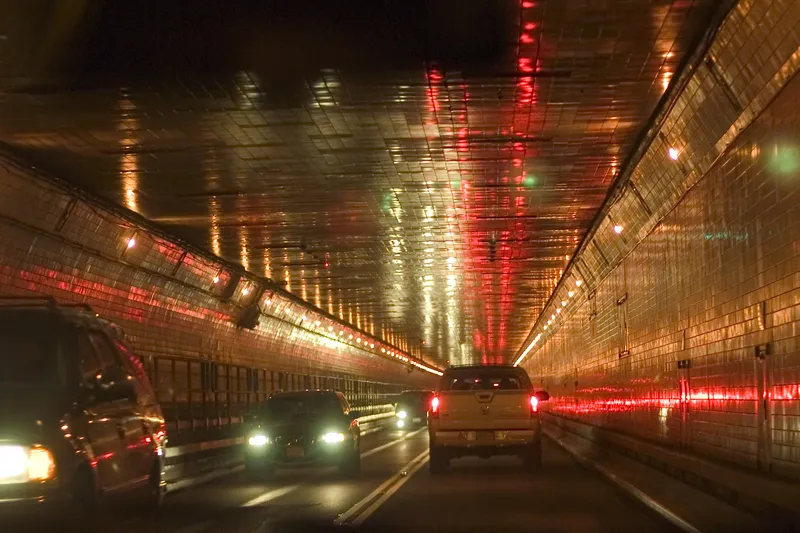
Inrix unveils AI traffic solution

Inrix has launched a traffic solution which it says uses artificial intelligence (AI) to provide updates to traffic conditions and pinpoint traffic speeds in different lanes. Inrix AI Traffic provides road authorities with information to help promote public safety and future-proof roadways, the company adds. According to Inrix, the solution also provides: • Estimated time of arrivals to ensure drivers arrive at their destination on-time • Instant updates on road conditions such as roadworks, accidents
June 14, 2019 Read time: 1 min

163 Inrix has launched a traffic solution which it says uses artificial intelligence (AI) to provide updates to traffic conditions and pinpoint traffic speeds in different lanes.

Inrix AI Traffic provides road authorities with information to help promote public safety and future-proof roadways, the company adds.

According to Inrix, the solution also provides:

•    Estimated time of arrivals to ensure drivers arrive at their destination on-time

•    Instant updates on road conditions such as roadworks, accidents and congestion

•    Lane-by-lane precision to pinpoint the speed of traffic in different lanes

•    The ability to calculate speeds for interstates, intersections, county roads and neighbourhoods

Inrix AI Traffic is powered by a geospatial engine that uses deep learning to provide traffic analytics. The solution’s processing engine is expected to reduce latency, allowing it to ingest, process and output data more quickly.

UTC

Related Content

  • July 4, 2014
    Inrix to aid Tour de France traffic
    Tour de France organisers TdFHUB2014 Ltd will be using traffic intelligence supplied by Inrix to help minimise traffic congestion and potential disruption around this year’s event. The UK will host the first three stages of the world’s largest annual sporting event, visiting Leeds, Harrogate, York, Sheffield, Cambridge and London, with huge crowds expected to watch the race from the roadside. Inrix will assist TdFHUB2014 Ltd to plan and respond to any incidents by providing Inrix Radio and the Inrix
  • September 25, 2023
    GridMatrix goes back to the future in New York City
    Legacy traffic management infrastructure doesn’t have to be a marker of the past: software upgrades can bring it into the present in a cost-effective and timely way, says Gordon Feller
  • August 30, 2018
    Ordnance Survey to provide geospatial data for OmniCAV project, UK
    Ordnance Survey (OS) will provide geospatial data to support the OmnviCAV project’s ambition of accelerating the safe deployment of autonomous vehicles (AVs) on the UK’s roads. The £3.9m initiative’s aim is to develop an artificial intelligence-based simulation model for testing autonomous cars safety. The simulation model will feature a 32km circuit of Oxfordshire roads, covering rural, urban, main roads and intersections and will be used to create and run different test scenarios. OS’s role includ
  • November 19, 2014
    Inrix traffic monitoring upgrades
    Inrix’s latest traffic monitoring tools help transportation agencies in the US and Europe monitor conditions on more roads in real-time and receive earlier notification of accidents, unplanned road closures and other events.